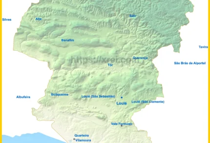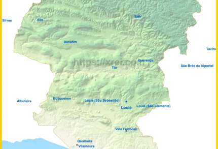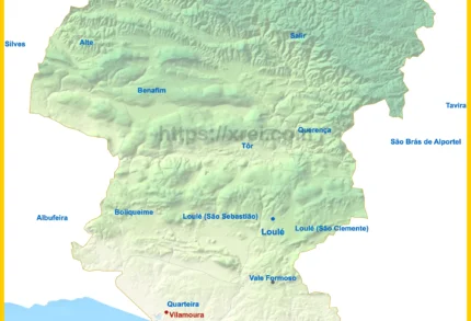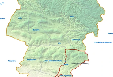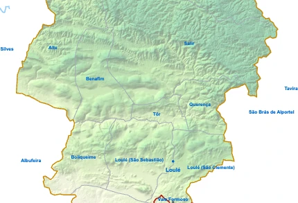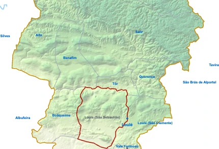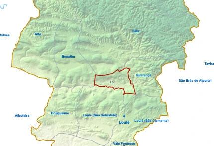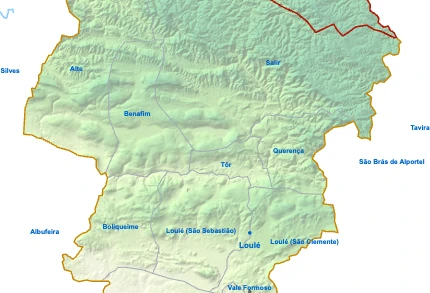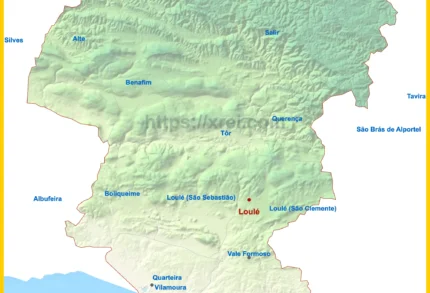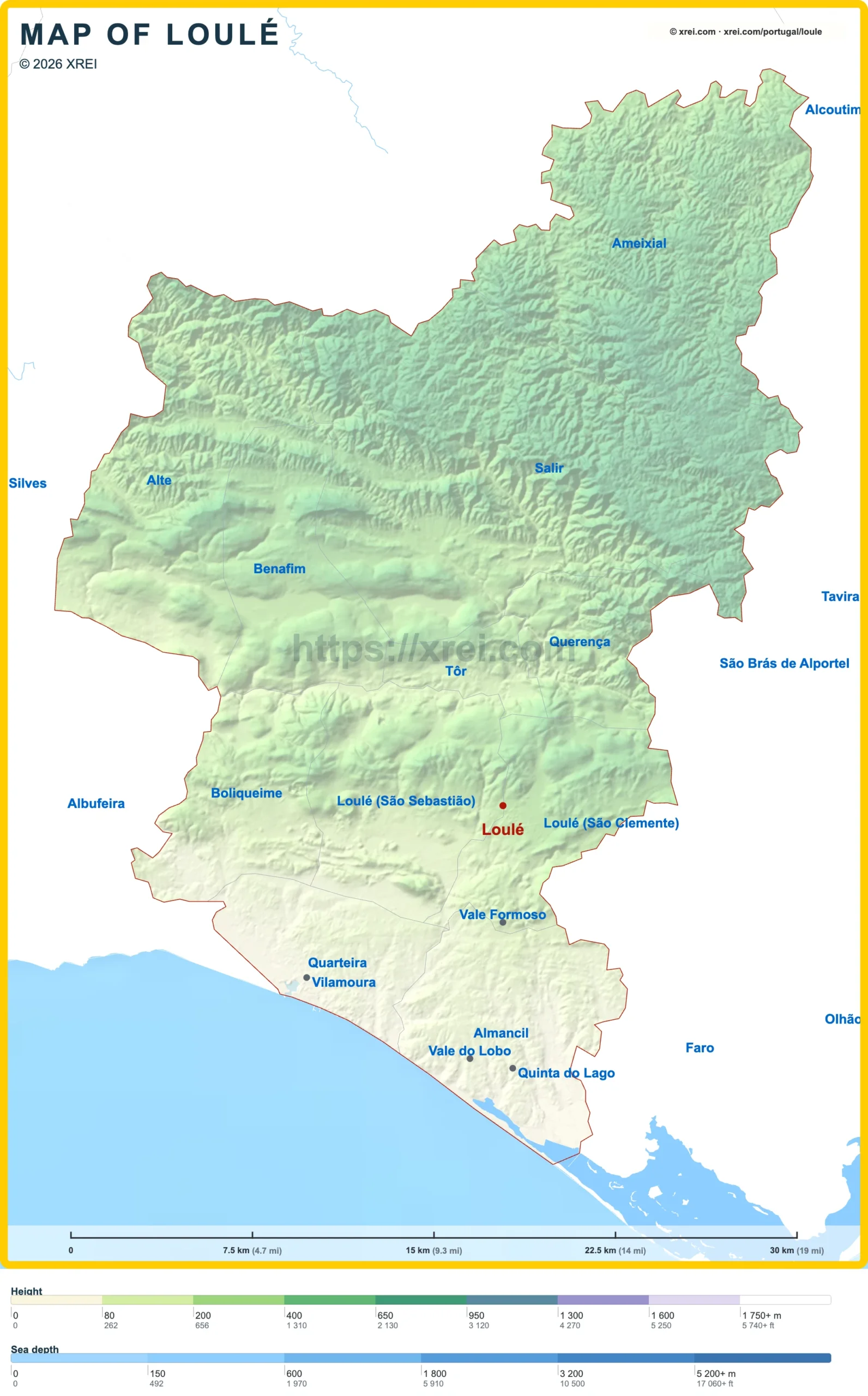
Loulé is the seat of the largest municipality in the Algarve by population and area, with 72 332 inhabitants across 764 km². The inland town is known for its historic centre, its market and two of the main annual events of the region.
The municipality also reaches the coast. The parish of Almancil holds the resorts of Quinta do Lago and Vale do Lobo, and the parish of Quarteira, with 24 420 inhabitants, holds the resort of Vilamoura.
Monuments in Loulé
- Castelo de Loulé: medieval castle with Islamic walls from the 12th century and flanking towers. It houses an archaeological museum with Lusitanian, Roman and Moorish finds from the region.
- Igreja Matriz de Loulé (Igreja de São Clemente): Gothic church built over a mosque, with a Baroque bell tower adapted from the former minaret.
- Santuário de Nossa Senhora da Piedade: a 16th-century chapel and a modern sanctuary with a white facade and two bell towers, the largest Marian shrine south of Fátima. It keeps the 16th-century gilded image of the Mãe Soberana.
- Ermida de Nossa Senhora da Conceição: chapel with 18th-century azulejo panels behind a plain facade.
- Convento de Santo António: late 17th-century Capuchin convent of the Franciscan order, now used for cultural events.
- Chafariz das Bicas Velhas: historic fountain at Largo D. Pedro I, reached along sections of the town walls from the castle.
- Estátua de António Aleixo: life-size statue of the folk poet, seated at a table inscribed with his verses.
Museums and culture in Loulé
- Museu Municipal de Loulé: museum with branches covering regional history from prehistory to the present, including gastronomy and architecture.
- Galeria de Arte Municipal: art gallery in the 18th-century Antigo Convento do Espírito Santo.
- Casa da Cultura de Loulé: cultural centre in the Edifício Duarte Pacheco.
Markets and gastronomy in Loulé
- Mercado Municipal de Loulé: neo-Moorish and Art Nouveau market hall with a white and red facade, domes and Moorish windows. Its stalls sell fruit and vegetables, cheeses, chouriço, bread, sweets and fresh fish.
- Saturday producers' market: on Saturday mornings, local producers sell oranges, almonds, dried figs, carob and honey in the streets around the market hall.
Local food in Loulé draws on the produce of the inland barrocal. Almonds, dried figs, carob, oranges and honey appear in regional sweets and liqueurs.
Events in Loulé
- Carnaval de Loulé: held since 1906 and regarded as the oldest carnival parade in Portugal, with satirical floats along Avenida José da Costa Mealha over the three days before Lent.
- Festival MED: world music festival first held in 2004, with concerts, food and street arts across the historic centre at the end of June.
Parks and sport in Loulé
- Fonte do Cadoiço: green space in the town with a small waterfall over a pond.
- Piscinas de Loulé: indoor and outdoor swimming pools.
Villages and nature around Loulé
North of the town, the barrocal hills and the Serra do Caldeirão hold villages, springs and trails. Alte, Salir and Querença lie within the Algarvensis Geopark.
- Rocha da Pena: limestone outcrop between Salir and Benafim, with woodland and steep hillsides. Its south-facing cliffs form the most established climbing area in the Algarve, with 13 sectors, some closed during the bird nesting season.
- Salir (2 448 inhabitants · 188 km²): farming village around the ruins of a castle, with local legends and festivals.
- Alte (1 746 inhabitants · 94 km²): whitewashed village with two springs, the Fonte Pequena and the Fonte Grande, and a late 13th-century parish church with a Manueline portal and 18th-century azulejos.
- Querença (705 inhabitants · 34 km²): village north of Loulé, built around its Igreja de Nossa Senhora da Assunção, rebuilt in the 1520s and 1530s.
- Fonte Benémola: protected landscape along the Ribeira da Menalva, with mills, waterwheels, weirs, irrigation channels and a walking trail.
- Ribeira de Algibre: stream near Fonte Benémola.
- Quinta da Tôr: vineyard and winery in the parish of Tôr.
- Ameixial (381 inhabitants · 124 km²): mountain parish in the Serra do Caldeirão, known for its customs and crafts.
- Fonte da Seiceira: spring with a 19th-century fountain, once valued for its iron-rich water, with picnic tables.
- Boliqueime (4 789 inhabitants · 46 km²): parish on the western edge of the municipality, bordering Albufeira.
- Igreja de São Lourenço de Almancil: church with its walls, vault and dome covered in blue and white azulejos signed by Policarpo de Oliveira Bernardes in 1730, showing the life of Saint Lawrence.
- Vale Formoso: hillside area of large villas in the hills above the Golden Triangle, with panoramic views over the resorts and the ocean along the coast from Faro to Albufeira.
Places to visit in the Algarve