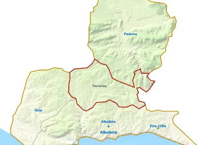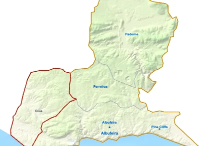

Ferreiras Street Map

123THorse Riding Albufeira (Salgados)Eden Montessori International SchoolBridge of PaderneFaro Airport (FAO) 27 kmPaderne 5 kmBoliqueime 8 kmPine Cliffs 7 kmAlbufeira 4 kmGuia 6 kmAlgoz 8 kmVilamoura 12 kmQuarteira RiverSerra de Monchique 19 kmRia Formosa Nature Park 18 kmAlbufeira - FerreirasIntermarché SuperAldiPingo DoceAuchan SupermercadoIntermarché SuperMercado Munícipal das Ferreiras
Getting there
- TAlbufeira - Ferreiras Train station
Useful places
- 1Horse Riding Albufeira (Salgados) Equestrian Centre
- 2Eden Montessori International School Private School
- 3Bridge of Paderne bridge
- Hospital Lusíadas Albufeira Hospital
- Albufeira Riding Centre (Vale Navio) Equestrian Centre
- Castle of Paderne fortification
Water
- ≈Quarteira River River
Landmarks
- Serra de Monchique protected area, 19 km NW
- Ria Formosa Nature Park protected area, 18 km SE
Supermarkets
- Intermarché Super Avenida 12 de Julho
- Aldi Avenida 12 de Julho
- Pingo Doce Avenida 12 de Julho
- Auchan Supermercado
- Intermarché Super Estrada de Vale Pedras
Local life
- Mercado Munícipal das Ferreiras Market
Airports
- ✈Faro Airport (FAO) 27 km SE
Next places
- Paderne 5 km NE
- Boliqueime 8 km E
- Pine Cliffs 7 km SE
- Albufeira 4 km S
- Guia 6 km W
- Algoz 8 km NW
- Vilamoura 12 km SE
Map by xrei.com/portugal/ferreiras/ © OpenStreetMap contributors