
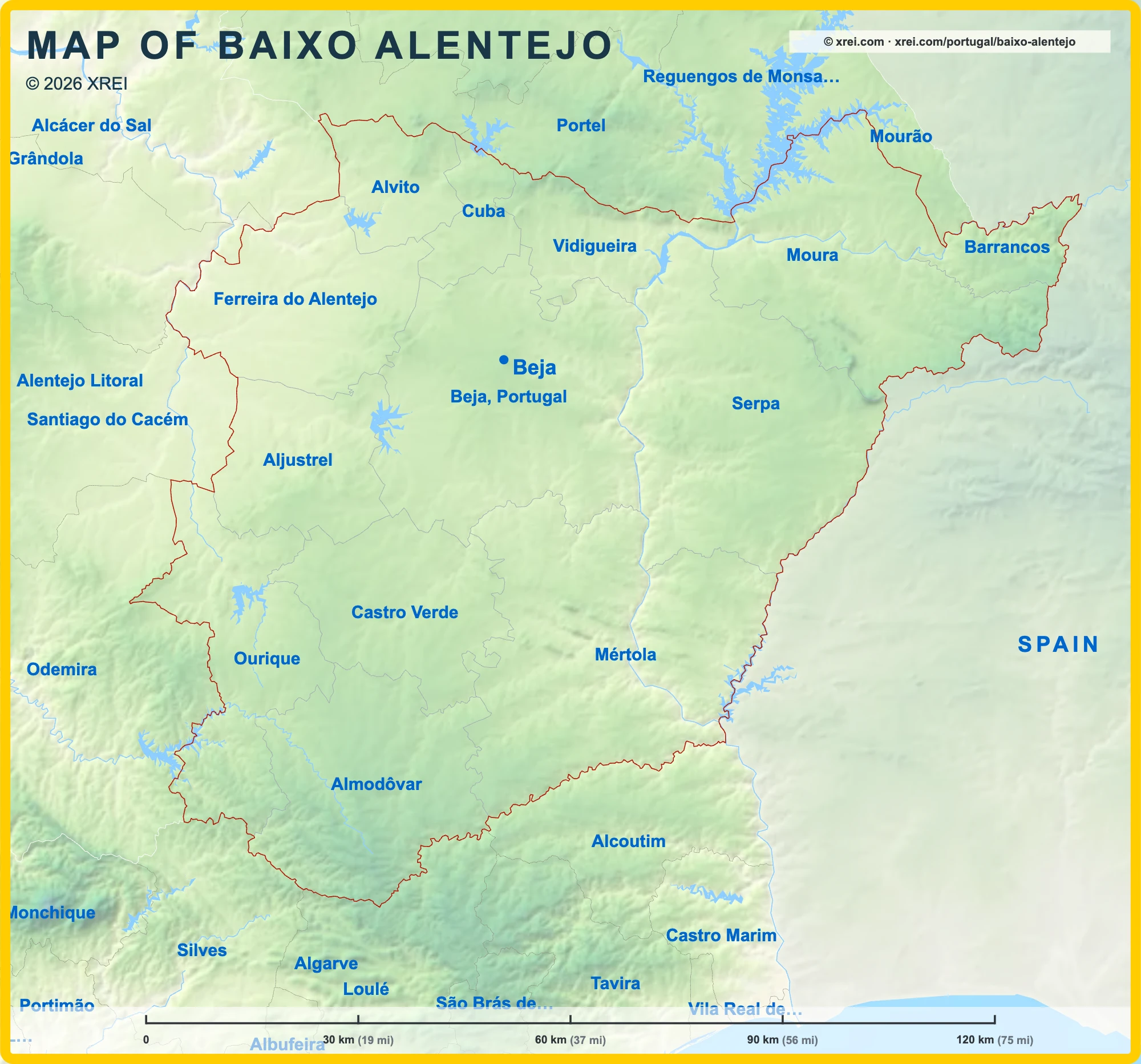
Baixo Alentejo
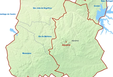
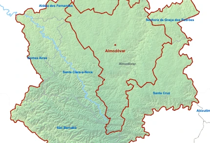
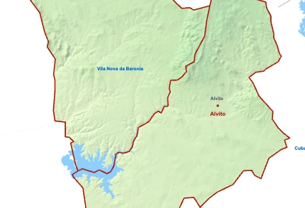
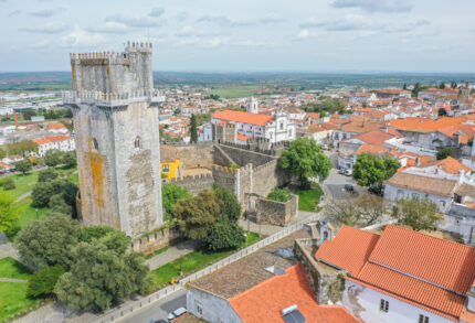
Municipalities of Baixo Alentejo map
Baixo Alentejo is a Sub-region of Alentejo in Portugal on the Portugal Map in the continent of Europe.
030 km (19 mi)60 km (37 mi)90 km (56 mi)120 km (75 mi)
Height
0 m (0 ft), 80 m (262 ft), 200 m (656 ft), 400 m (1310 ft), 650 m (2130 ft), 950 m (3120 ft), 1300 m (4270 ft), 1600 m (5250 ft), above 1750 m (5740 ft)Sea depth
0 m (0 ft), 150 m (492 ft), 600 m (1970 ft), 1800 m (5910 ft), 3200 m (10500 ft), deeper than 5200 m (17060 ft)Basic Information
Baixo Alentejo population (data from last censos): Sub-region has 114 863 Inhabitants
Baixo Alentejo area: Sub-region has 8 543 km² / 3 298 sq mi
Geography
Intermediary Region: Portugal Map
Continental Region: Portugal in Europe: Location, Region & Map Explained
Where is Baixo Alentejo located in Portugal?
Municipalities of Baixo Alentejo
Ferreira do Alentejo
Ferreira do Alentejo
- Municipality population7 684 inhabitants
- Municipality area648 km²
250 sq mi
Castro Verde
Castro Verde
- Municipality population6 873 inhabitants
- Municipality area569 km²
220 sq mi
Sub-regions of Alentejo
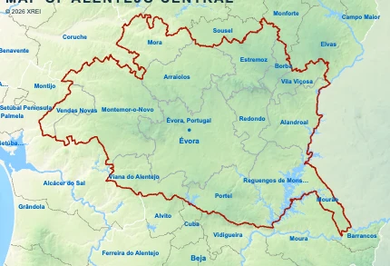
Alentejo Central
- Sub-region population152 444 inhabitants
- GDP per capita20 795 €
- Sub-region area7 393 km²
2 855 sq mi - Total GDP3 116 million €

Baixo AlentejoYou’re reading this article
- Sub-region population114 863 inhabitants
- GDP per capita22 287 €
- Sub-region area8 543 km²
3 298 sq mi - Total GDP2 558 million €
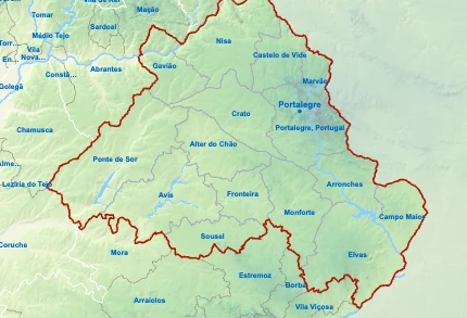
Alto Alentejo
- Sub-region population104 923 inhabitants
- GDP per capita18 446 €
- Sub-region area6 084 km²
2 349 sq mi - Total GDP1 877 million €
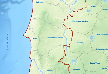
Alentejo Litoral
- Sub-region population96 442 inhabitants
- GDP per capita30 083 €
- Sub-region area5 309 km²
2 050 sq mi - Total GDP2 813 million €