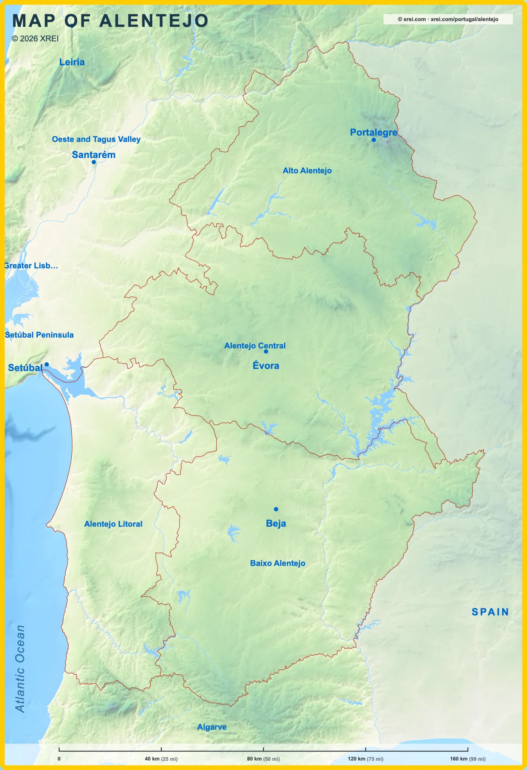
Alentejo Region, a region in south-central Portugal encompassing the districts of Portalegre, Évora and Beja, the southern half of the District of Setúbal, and part of the District of Santarém.
Alentejo
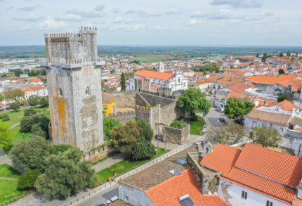

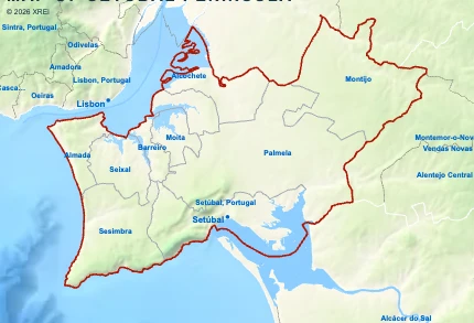
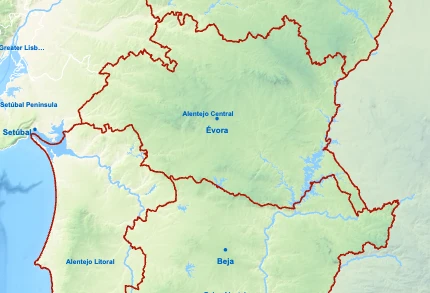
Sub-regions of Alentejo map
Alentejo is a Region of Regions of Portugal in Portugal in the continent of Europe.
040 km (25 mi)80 km (50 mi)120 km (75 mi)160 km (99 mi)
Height
0 m (0 ft), 80 m (262 ft), 200 m (656 ft), 400 m (1310 ft), 650 m (2130 ft), 950 m (3120 ft), Max altitude 1022 m (3350 ft)Sea depth
0 m (0 ft), 150 m (492 ft), 600 m (1970 ft), 1800 m (5910 ft), 3200 m (10500 ft), deeper than 5200 m (17060 ft)Height from south to north in Alentejo
1Sea0 m2Rio Guadiana0–147 m3Rio Tejo42–72 m
Basic Information
Alentejo population (data from last censos): Region has 468 672 Inhabitants
Alentejo area: Region has 27 330 km² / 10 552 sq mi
Sub-regions of Alentejo
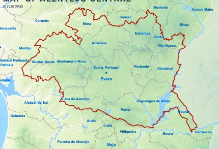
Alentejo Central
- Sub-region population152 444 inhabitants
- GDP per capita20 795 €
- Sub-region area7 393 km²
2 855 sq mi - Total GDP3 116 million €

Baixo Alentejo
- Sub-region population114 863 inhabitants
- GDP per capita22 287 €
- Sub-region area8 543 km²
3 298 sq mi - Total GDP2 558 million €
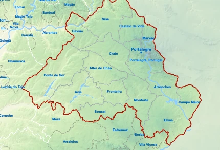
Alto Alentejo
- Sub-region population104 923 inhabitants
- GDP per capita18 446 €
- Sub-region area6 084 km²
2 349 sq mi - Total GDP1 877 million €
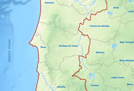
Alentejo Litoral
- Sub-region population96 442 inhabitants
- GDP per capita30 083 €
- Sub-region area5 309 km²
2 050 sq mi - Total GDP2 813 million €
Regions of Portugal
AlentejoYou’re reading this article
- Region population468 672 inhabitants
- Region area27 330 km²
10 552 sq mi