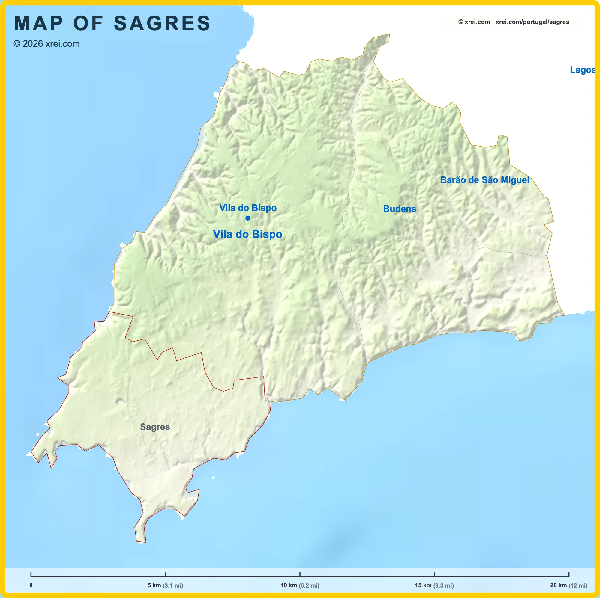
Sagres is a historic village and parish of Vila do Bispo, with 1 894 inhabitants across 34 km², close to Cabo de São Vicente, the southwestern tip of mainland Europe.
Sagres is known as a surf destination. Its position between the south and west coasts gives waves for all levels on beaches with different orientations and sand or rock bottoms.
The coast faces the open Atlantic, with more wind and swell than the south coast of the Algarve, and lies inside a natural park, so it is less built-up.
Beaches in Sagres
- Praia da Mareta: urban beach facing south, sheltered from the prevailing wind.
- Praia do Tonel: west-facing beach with some of the most consistent waves in the area.
- Praia do Beliche: beach below cliffs, next to the Fortaleza do Beliche.
- Praia do Martinhal: beach east of the village, overlooked by the Martinhal Sagres family resort.
- Praia da Baleeira: beach next to the fishing harbour.
- Prainha das Poças: small beach near the Fortaleza de Sagres.
Monuments in Sagres
- Fortaleza de Sagres: fortress on the Ponta de Sagres headland, whose bastioned walls date from the 18th century, enclosing the small Igreja de Nossa Senhora da Graça. It is the most visited monument in the Algarve, with 427,817 visitors in 2023.
- Farol do Cabo de São Vicente: lighthouse close to the cliff edge on the cape.
- Fortaleza do Beliche: fort first recorded in the 16th century, built against pirate and corsair attacks.
Nature and trails in Sagres
- Cabo de São Vicente: the southwestern tip of mainland Europe, and the start and end point of the E9 European long-distance path, which follows the coast of Europe to Narva-Jõesuu in Estonia. The cape is also a lookout point for the autumn bird migration.
- Rota Vicentina: the Historical Way ends at Cabo de São Vicente after its last stage from Vila do Bispo, and the Fishermen's Trail passes the cape on its way from Porto Covo to Lagos.
Harbours in Sagres
- Porto da Baleeira: fishing harbour for the local boats.