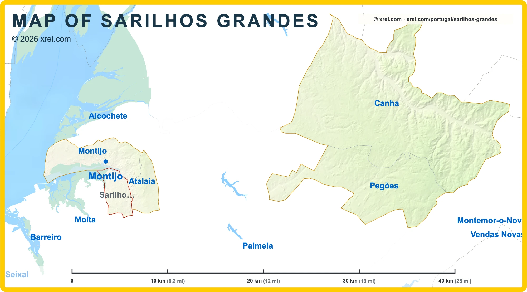
Sarilhos Grandes Street Map
Landmarks
- Tagus Estuary Natural Reserve protected area, 10 km N
- Monsanto Forest Park protected area, 19 km W
Supermarkets
- Auchan Supermercado EN 5
- Mercadona Rua do Laboratório
- Continente Circular Externa
- E.Leclerc Rua Vasco da Gama
- Lidl Avenida das Portas da Cidade
Local life
- Mercado de Levante da Reforma Agrária Tuesdays
- Festas da Moita September
- Rua José Joaquim Marques Shopping street
Map by xrei.com © OpenStreetMap contributors
Parishes of Montijo map
Sarilhos Grandes is a Parish of Montijo in Portugal in the continent of Europe.
010 km (6.2 mi)20 km (12 mi)30 km (19 mi)40 km (25 mi)
Height
080138 m
0262453 ft
0 m (0 ft), 80 m (262 ft), Max altitude 138 m (453 ft)Sea depth
01506001 8003 2005 200+ m
04921 9705 91010 50017 060+ ft
0 m (0 ft), 150 m (492 ft), 600 m (1970 ft), 1800 m (5910 ft), 3200 m (10500 ft), deeper than 5200 m (17060 ft)Height from west to east in Montijo
Height from south to north in Montijo
1Sea0 m
Informação geográfica cedida pela Direção-Geral do Território (CAOP, CC BY 4.0) · © OpenStreetMap contributors (ODbL) · GEBCO 2026 Grid · Heights: NASADEM, NASA
Basic Information
Sarilhos Grandes population (data from last censos): Parish has 3 243 Inhabitants
Sarilhos Grandes area: Parish has 12 km² / 5 sq mi
Where is Sarilhos Grandes located in Portugal?
Parishes of Montijo
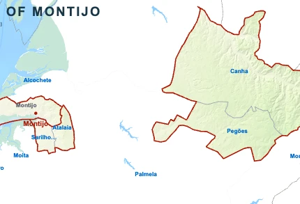
- Parish population41 404 inhabitants
- Parish area31 km²
12 sq mi
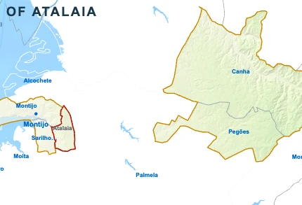
- Parish population5 379 inhabitants
- Parish area14 km²
5 sq mi
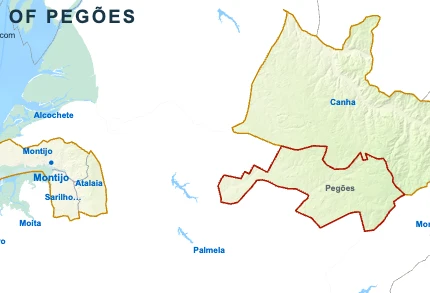
- Parish population4 090 inhabitants
- Parish area80 km²
31 sq mi

Sarilhos GrandesYou’re reading this article
- Parish population3 243 inhabitants
- Parish area12 km²
5 sq mi

- Parish population1 566 inhabitants
- Parish area212 km²
82 sq mi