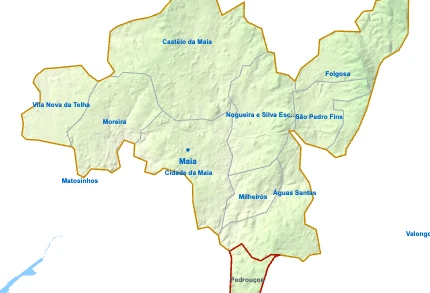
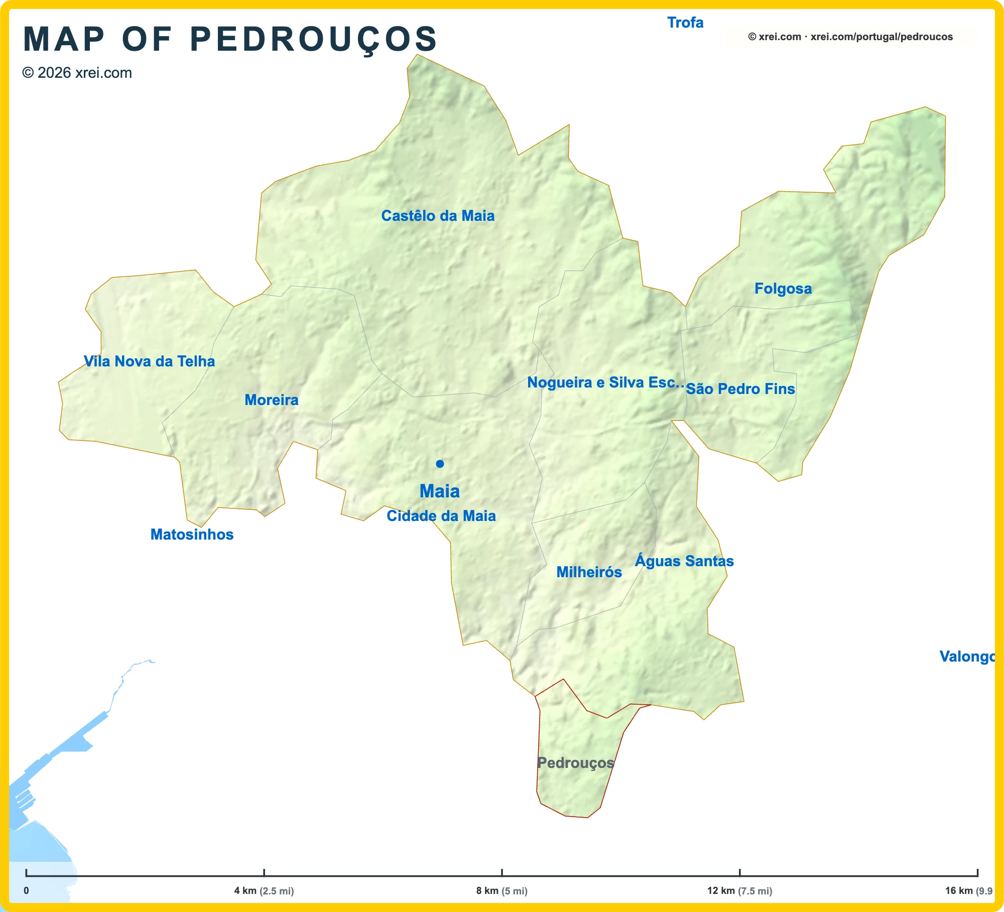
Pedrouços Street Map

12TSítio arqueológico de Moalde (Castro de Moalde)Polytechnic Institute of Porto (P.Porto)Porto Airport (Francisco Sá Carneiro Airport) (OPO) 10 kmÁguas Santas 3 kmValongo 8 kmRio Tinto 3 kmGondomar 6 kmPorto 5 kmParanhos 2 kmSão Mamede de Infesta 2 kmMaia 5 kmRegato do Boi MortoAveiro Lagoon 36 kmNorthern Littoral Natural Park 34 kmSão GemilAldiAuchan SupermercadoContinente Bom DiaMy AuchanPingo DoceLidlLidlContinente Bom DiaMercado da AreosaMercado Municipal de Pedrouços
Getting there
- TSão Gemil Train station
Metro lines
- D
Useful places
- 1Sítio arqueológico de Moalde (Castro de Moalde) archaeological site
- 2Polytechnic Institute of Porto (P.Porto) University
- Faculty of Engineering University of Porto (FEUP) University
- Hospital de São João Hospital
Water
- ≈Regato do Boi Morto River
Landmarks
- Aveiro Lagoon protected area, 36 km S
- Northern Littoral Natural Park protected area, 34 km NW
Supermarkets
- Aldi Rua General Humberto Delgado
- Auchan Supermercado
- Continente Bom Dia Rua António Feliciano de Castilho
- My Auchan
- Pingo Doce Rua de Sangemil
- Lidl Rua da Quinta da Palmeira
- Lidl Rua Diamantina
- Continente Bom Dia R. Henrique de Sousa Reis
Local life
- Mercado da Areosa Market
- Mercado Municipal de Pedrouços Tuesdays
Airports
Next places
- Águas Santas 3 km NE
- Valongo 8 km E
- Rio Tinto 3 km SE
- Gondomar 6 km SE
- Porto 5 km SW
- Paranhos 2 km SW
- São Mamede de Infesta 2 km W
- Maia 5 km NW
Map by xrei.com © OpenStreetMap contributors