
Águas Santas Street Map

12345678TTTTIgreja de Nossa Senhora do Ó de Águas SantasIgreja Paroquial de MilheirósCapela do Senhor dos AflitosMaia Shopping CentreChurch of the Sacred Heart of JesusIgreja Paroquial de NogueiraSítio arqueológico de Moalde (Castro de Moalde)Igreja Paroquial de São Mamede de InfestaPorto Airport (Francisco Sá Carneiro Airport) (OPO) 10 kmTrofa 13 kmSanto Tirso 16 kmValongo 6 kmRio Tinto 5 kmPorto 8 kmMatosinhos 11 kmMaia 4 kmNogueira e Silva Escura 3 kmRibeira de LeandroRibeira da Silva EscuraRibeira da JunqueiraMilheirósPedrouçosSão Mamede de InfestaErmesindeAveiro Lagoon 39 kmNorthern Littoral Natural Park 32 kmErmesindeLeandroSão GemilSão Mamede de InfestaFeira de ErmesindeFeira de Santana
Getting there
- TErmesinde Train station
- TLeandro Train station
- TSão Gemil Train station
- TSão Mamede de Infesta Train station
Useful places
- 1Igreja de Nossa Senhora do Ó de Águas Santas church
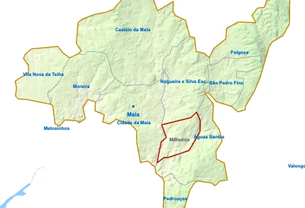
- 2Igreja Paroquial de Milheirós church
- 3Capela do Senhor dos Aflitos chapel
- 4Maia Shopping Centre Shopping Centre
- 5Church of the Sacred Heart of Jesus church
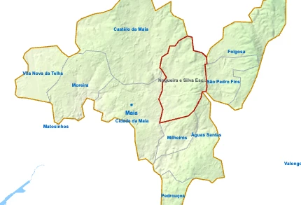
- 6Igreja Paroquial de Nogueira church
- 7Sítio arqueológico de Moalde (Castro de Moalde) archaeological site
- 8Igreja Paroquial de São Mamede de Infesta church
- Casa-Museu Abel Salazar historic house museum
- Capela de Nossa Senhora da Conceição chapel
Water
- ≈Ribeira de Leandro stream
- ≈Ribeira da Silva Escura stream
- ≈Ribeira da Junqueira stream
Landmarks
- Aveiro Lagoon protected area, 39 km S
- Northern Littoral Natural Park protected area, 32 km NW
Local life
- Feira de Ermesinde Mondays and Fridays
- Feira de Santana Fridays
- Avenida João de Deus Shopping street
Airports
Next places
- Trofa 13 km N
- Santo Tirso 16 km NE
- Valongo 6 km SE
- Rio Tinto 5 km S
- Porto 8 km SW
- Matosinhos 11 km W
- Maia 4 km NW
- Nogueira e Silva Escura 3 km N
Map by xrei.com © OpenStreetMap contributors