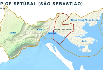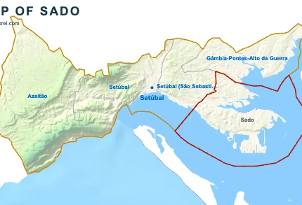
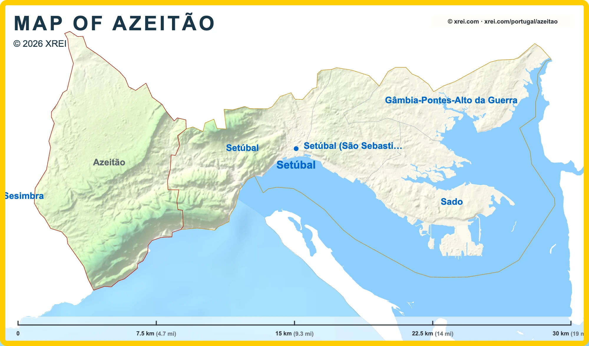
Azeitão is a parish of the municipality of Setúbal (20 946 inhabitants · 69 km²), on the northern slope of the Serra da Arrábida, known for its wine estates, its sheep's milk cheese and its tortas. Its main villages are Vila Nogueira de Azeitão and Vila Fresca de Azeitão.
Azeitão Street Map
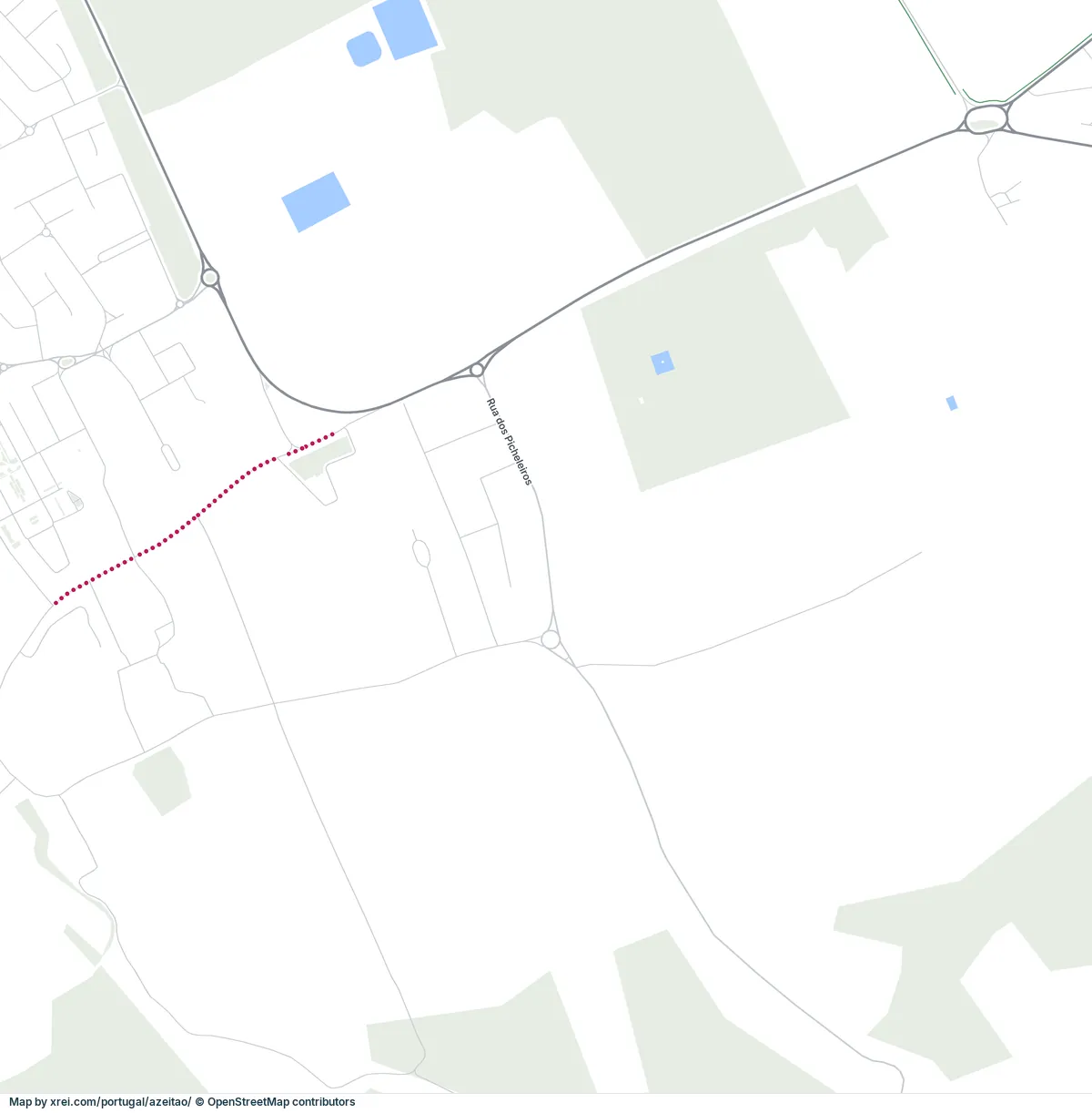
1234567Palácio da Quinta das TorresPalácio dos Duques de Aveiro (Vila Nogueira de Azeitão)Fontanário em Vila Nogueira de AzeitãoJosé Maria da FonsecaSantiago International SchoolEdifícioBacalhôaLisbon Airport (Humberto Delgado Airport) (LIS) 30 kmQuinta do Anjo 8 kmPalmela 14 kmSetúbal 10 kmSesimbra 11 kmSesimbra (Castelo) 10 kmQuinta do Conde 6 kmPalhais 10 km▲ Arrábida Natural ParkMonsanto Forest Park 26 kmTagus Estuary Natural Reserve 28 kmIntermarchéLidl
Useful places
- 1Palácio da Quinta das Torres palace
- 2Palácio dos Duques de Aveiro (Vila Nogueira de Azeitão) palace
- 3Fontanário em Vila Nogueira de Azeitão fountain
- 4José Maria da Fonseca Winery
- 5Santiago International School Private School
- 6Edifício church
- 7Bacalhôa Winery
Landmarks
- ▲Arrábida Natural Park protected area
- Monsanto Forest Park protected area, 26 km NW
- Tagus Estuary Natural Reserve protected area, 28 km N
Supermarkets
- Intermarché Rua Poeta Sebastião da Gama
- Lidl Rua José da Silva Xavier
Local life
- Rua José Augusto Coelho Shopping street
Airports
Next places
- Quinta do Anjo 8 km N
- Palmela 14 km NE
- Setúbal 10 km E
- Sesimbra 11 km SW
- Sesimbra (Castelo) 10 km W
- Quinta do Conde 6 km NW
- Palhais 10 km N
Map by xrei.com © OpenStreetMap contributors
Part of the parish lies inside the Arrábida Natural Park.
Monuments in Azeitão
- Palácio and Quinta da Bacalhôa: a Renaissance palace and garden in Vila Fresca de Azeitão, built for Brás de Albuquerque, son of the viceroy Afonso de Albuquerque, who acquired the estate in 1528. Its tile panels include a panel of 1565 in the garden pavilion, which the estate presents as the first dated tile in Portugal. The palace and estate are classified as a National Monument.
- Church of São Simão: the parish church of Vila Nogueira de Azeitão, lined inside with 18th-century tile panels.
- Chafariz dos Pasmados: a Baroque fountain in Vila Nogueira de Azeitão, carved with the royal arms of Queen Maria I.
- Quinta das Torres: a 16th-century estate with a manor house, square towers and a fountain in its courtyard.
Wine in Azeitão
- José Maria da Fonseca: a wine house founded in 1834 in Vila Nogueira de Azeitão, held by the same family for seven generations, with a house museum open to visitors.
- Bacalhôa: a wine company based on the EN10 in Vila Nogueira de Azeitão, with a cellar museum, and owner of the Palácio da Bacalhôa.
- Moscatel de Setúbal: the fortified Muscat wine of the Setúbal Peninsula, produced by the wine houses of Azeitão.
Bacalhôa
- LocationSetúbal
- Wine regionPenínsula de Setúbal
José Maria da Fonseca
- LocationSetúbal
- Wine regionPenínsula de Setúbal
Food in Azeitão
- Queijo de Azeitão: a soft sheep's milk cheese made in the Azeitão area, with a protected designation of origin.
- Tortas de Azeitão: small rolled sponge cakes filled with egg cream.
Places to visit in Setúbal

Setúbal, Portugal
Arrábida & Setúbal
Arrábida & Setúbal
You're reading Azeitão article
Azeitão
Convent of Jesus
Convent of Jesus
Fortress of São Filipe
Fortress of São Filipe
Convent of Arrábida
Convent of Arrábida
Livramento Market
Livramento Market
Sado Estuary Nature Reserve
Sado Estuary Nature Reserve
History of Setúbal
History of Setúbal
Visiting Setúbal