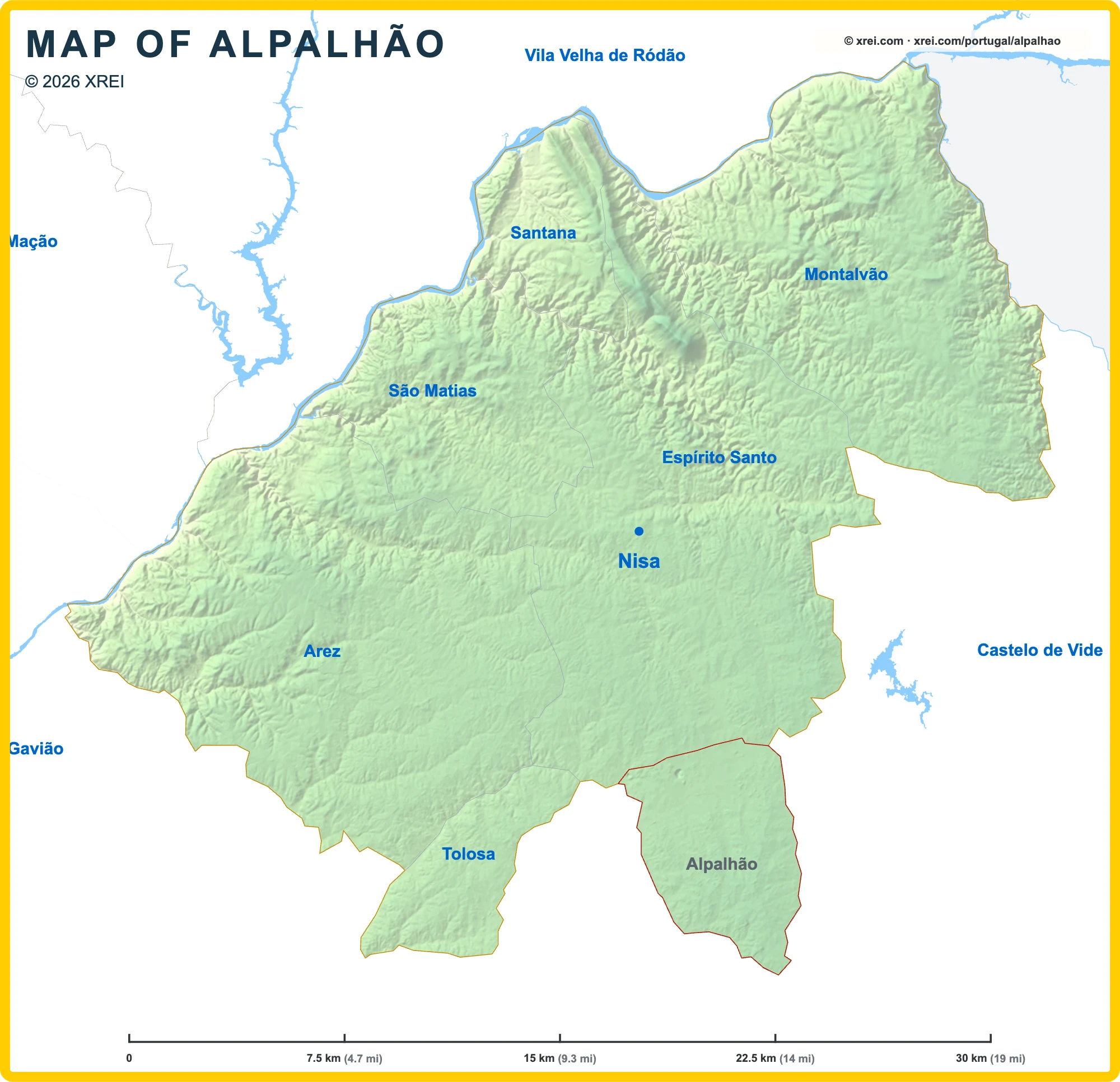
Useful places
- 1Capela do Calvário (Alpalhão) chapel
- 2Castle of Alpalhão castle
- 3Igreja Paroquial de Alpalhão church
- 4Antas des Saragonheiros archaeological site
Water
- ≈Ribeiro de Santo António stream
- ≈Ribeira de Vale do Castelo stream
Landmarks
- ▲Serra de São Mamede protected area
Map by xrei.com © OpenStreetMap contributors
Parishes of Nisa map
Alpalhão is a Parish of Nisa in Portugal in the continent of Europe.
07.5 km (4.7 mi)15 km (9.3 mi)22.5 km (14 mi)30 km (19 mi)
Height
3580200400459 m
1152626561 3101 510 ft
35 m (115 ft), 80 m (262 ft), 200 m (656 ft), 400 m (1310 ft), Max altitude 459 m (1510 ft)Height from west to east in Nisa
Height from south to north in Nisa
1Rio Tejo43 to 81 m2Rio Sever114 to 129 m3Albufeira de Fratel74 m
Informação geográfica cedida pela Direção-Geral do Território (CAOP, CC BY 4.0) · © OpenStreetMap contributors (ODbL) · GEBCO 2026 Grid · Heights: NASADEM, NASA
Basic Information
Alpalhão population (data from last censos): Parish has 989 Inhabitants
Alpalhão area: Parish has 34 km² / 13 sq mi
Where is Alpalhão located in Portugal?
Parishes of Nisa
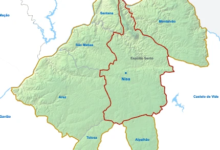
- Parish population2 996 inhabitants
- Parish area154 km²
59 sq mi
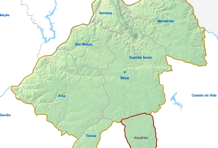
AlpalhãoYou’re reading this article
- Parish population989 inhabitants
- Parish area34 km²
13 sq mi
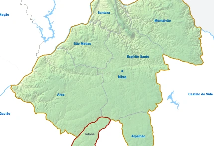
- Parish population811 inhabitants
- Parish area24 km²
9 sq mi
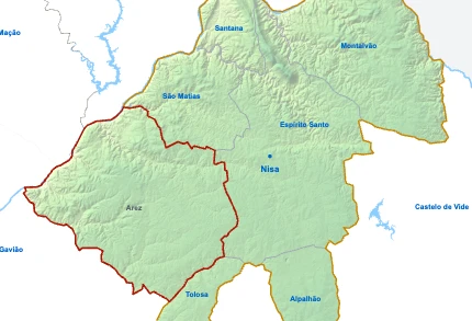
- Parish population392 inhabitants
- Parish area158 km²
61 sq mi
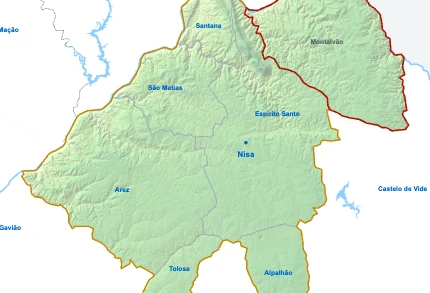
- Parish population290 inhabitants
- Parish area124 km²
48 sq mi
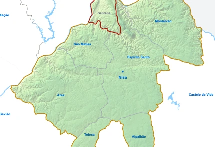
- Parish population277 inhabitants
- Parish area27 km²
10 sq mi
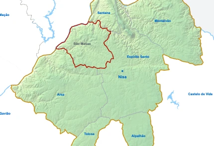
- Parish population197 inhabitants
- Parish area55 km²
21 sq mi