Useful places
- 1Igreja de São Miguel de Urrô church
Water
- ≈Ribeira do Borralheiro stream
Landmarks
- Vouga River protected area, 27 km S
- Alto Douro Wine Region protected area, 39 km NE
Map by xrei.com © OpenStreetMap contributors
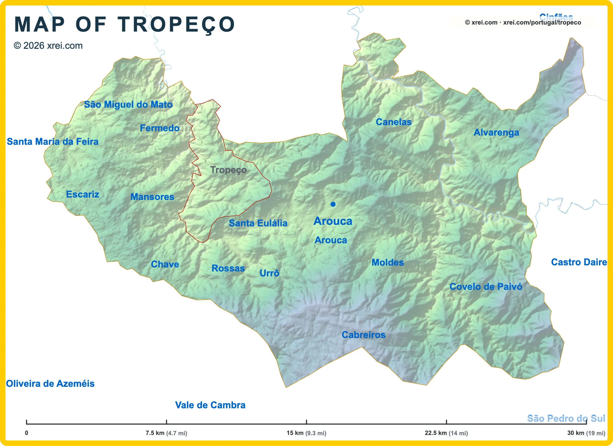
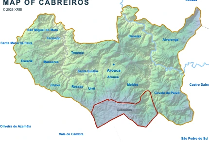
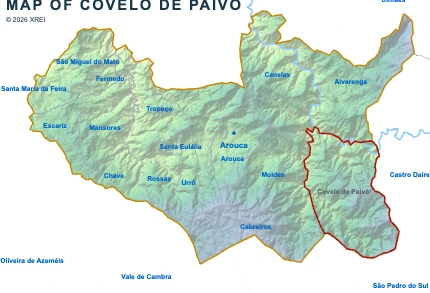
Parishes of Arouca map
Tropeço is a Parish of Arouca in Portugal in the continent of Europe.
07.5 km (4.7 mi)15 km (9.3 mi)22.5 km (14 mi)30 km (19 mi)
Height
57802004006509501 213 m
1872626561 3102 1303 1203 980 ft
57 m (187 ft), 80 m (262 ft), 200 m (656 ft), 400 m (1310 ft), 650 m (2130 ft), 950 m (3120 ft), Max altitude 1213 m (3980 ft)Height from west to east in Arouca
Height from south to north in Arouca
1Rio Paiva73 to 191 m
Informação geográfica cedida pela Direção-Geral do Território (CAOP, CC BY 4.0) · © OpenStreetMap contributors (ODbL) · GEBCO 2026 Grid · Heights: NASADEM, NASA
Basic Information
Tropeço population (data from last censos): Parish has 1 086 Inhabitants
Tropeço area: Parish has 18 km² / 7 sq mi
Where is Tropeço located in Portugal?