Roliça

Roliça

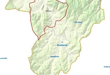
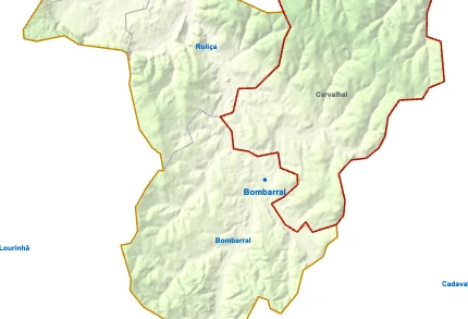
Parishes of Bombarral map

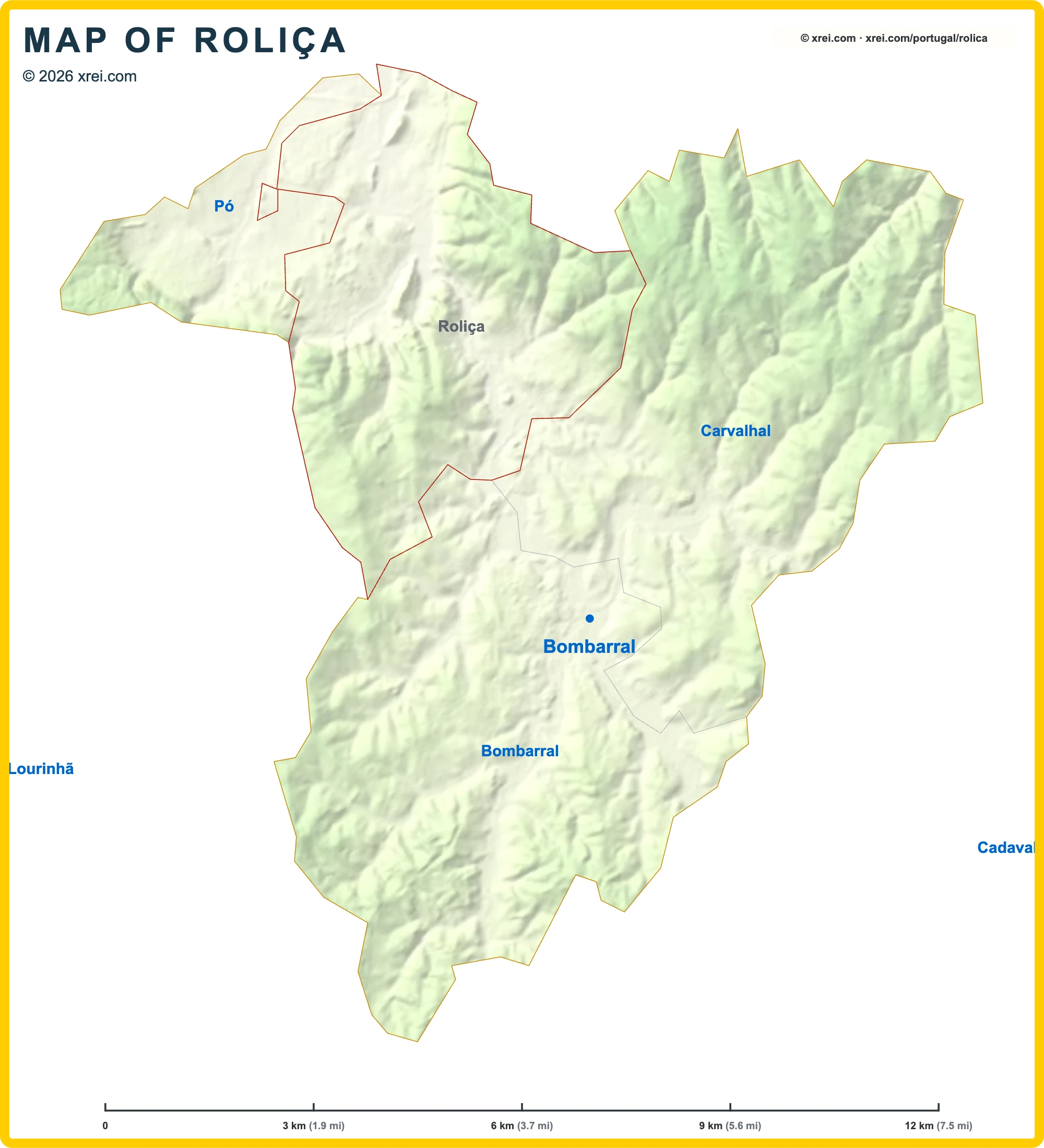
Roliça is a Parish of Bombarral in Portugal in the continent of Europe.

Map drawing by Jhose.com. Boundaries from CAOP, DGT Portugal. Reuse of this drawing requires attribution to xrei.com.AlcobaçaCaldas da RainhaNazaréÓbidosPenicheAlenquerArruda dos VinhosCadavalLourinhãSobral de Monte AgraçoTorres VedrasCarvalhalRoliçaPóBombarralAlcobaçaCaldas da RainhaNazaréÓbidosPenicheAlenquerArruda dos VinhosCadavalLourinhãSobral de Monte AgraçoTorres VedrasCarvalhalPóBombarralCadavalLourinhãCarvalhalRoliçaPóBombarralBombarralBombarralxrei.comMAP OF ROLIÇA© 2026 xrei.com
03 km (1.9 mi)6 km (3.7 mi)9 km (5.6 mi)12 km (7.5 mi)
Height
5 m (16 ft), 80 m (262 ft), 200 m (656 ft), Max altitude 206 m (676 ft)
Height from south to north in Bombarral
0 m80 m200 m400 mxrei.com206 m5 mSouth14.1 kmNorth

Basic Information

Roliça population (data from last censos): Parish has 2 545 Inhabitants

Roliça area: Parish has 23 km² / 9 sq mi

Where is Roliça located in Portugal?

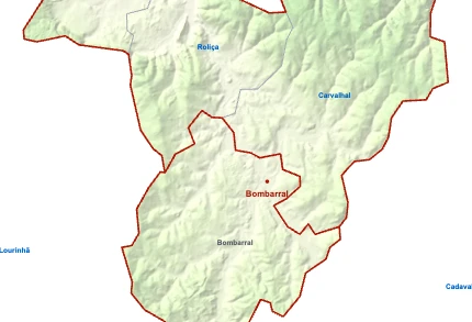
Parishes of Bombarral
Bombarral

Bombarral

  • Parish population⁨6 886 inhabitants⁩
  • Parish area⁨30 km²
    11 sq mi
    ⁩
Roliça

RoliçaYou’re reading this article

  • Parish population⁨2 545 inhabitants⁩
  • Parish area⁨23 km²
    9 sq mi
    ⁩
Carvalhal

Carvalhal

  • Parish population⁨2 393 inhabitants⁩
  • Parish area⁨32 km²
    12 sq mi
    ⁩
Pó

Pó

  • Parish population⁨922 inhabitants⁩
  • Parish area⁨7 km²
    3 sq mi
    ⁩

We're Close to You

XREI operates from offices across Portugal — from Porto to the Algarve.

North

Porto — Edifício ICON

Rua Direita de Francos, 165 Piso 1 · 4100-211 Porto

Greater Lisbon

Lisboa — Rua Castilho

Rua Castilho, 39 · 1250-068 Lisboa

Greater Lisbon

Estoril

Avenida Aida, 353A · 2765-187 Estoril

Alentejo Coast

Comporta

Av. 18 Dezembro, 37 · 7570-779 Carvalhal

Algarve

Vilamoura — Marina Plaza

Av. da Marina, 3 · Marina Plaza Loja 14/15 · 8125-401 Quarteira