Useful places
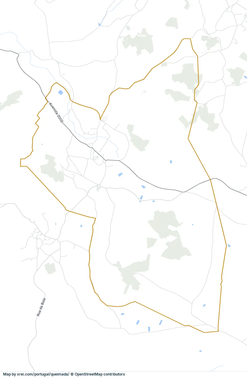
- 1Menir do Vale de Nascerães monument
Landmarks
- ▲Alto Douro Wine Region protected area
- Foz Tua Dam dam, 30 km NE
- Alvão Natural Park protected area, 26 km N
Map by xrei.com/portugal/queimada/ © OpenStreetMap contributors
Basic Information
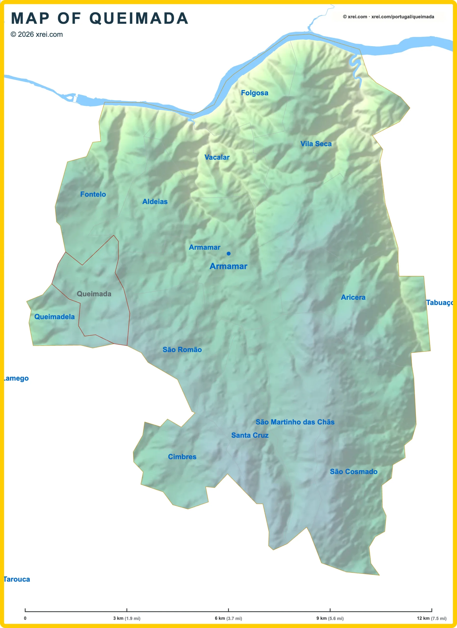
Queimada population (data from last censos): Parish has 291 Inhabitants
Queimada area: Parish has 4 km² / 2 sq mi
Where is Queimada located in Portugal?
Parishes of Armamar
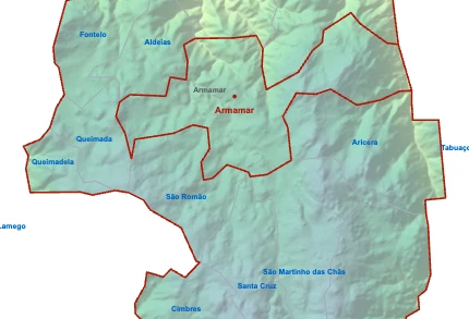
- Parish population1 510 inhabitants
- Parish area17 km²
6 sq mi
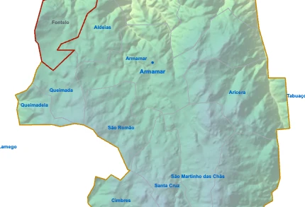
- Parish population602 inhabitants
- Parish area8 km²
3 sq mi
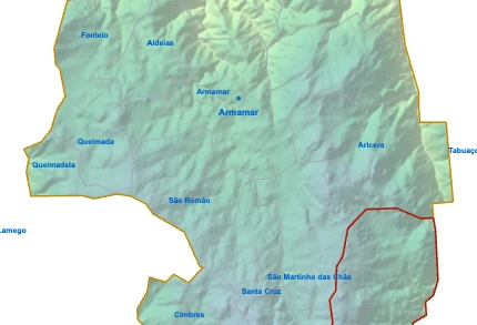
- Parish population514 inhabitants
- Parish area14 km²
5 sq mi
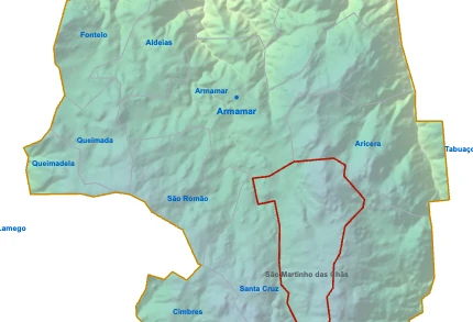
- Parish population478 inhabitants
- Parish area10 km²
4 sq mi

- Parish population410 inhabitants
- Parish area15 km²
6 sq mi
- Parish population334 inhabitants
- Parish area5 km²
2 sq mi
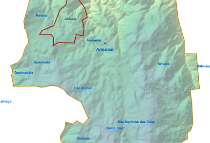
- Parish population307 inhabitants
- Parish area5 km²
2 sq mi
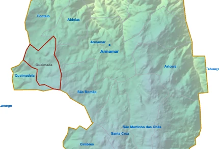
QueimadaYou’re reading this article
- Parish population291 inhabitants
- Parish area4 km²
2 sq mi
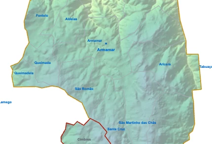
- Parish population270 inhabitants
- Parish area6 km²
2 sq mi
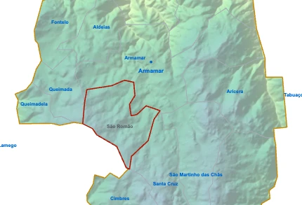
- Parish population224 inhabitants
- Parish area7 km²
3 sq mi
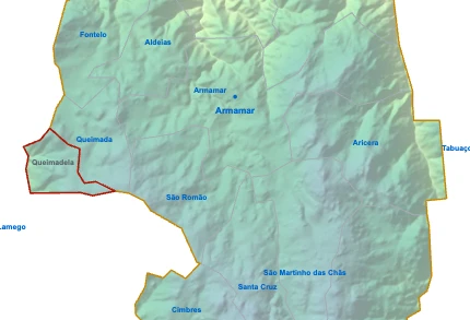
- Parish population208 inhabitants
- Parish area2 km²
1 sq mi
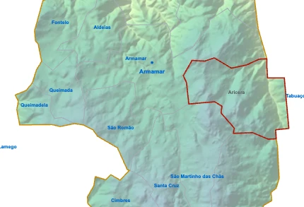
- Parish population185 inhabitants
- Parish area11 km²
4 sq mi

- Parish population173 inhabitants
- Parish area8 km²
3 sq mi
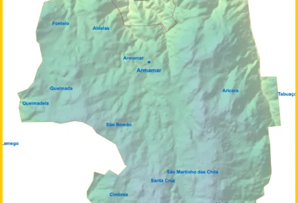
- Parish population172 inhabitants
- Parish area6 km²
2 sq mi