
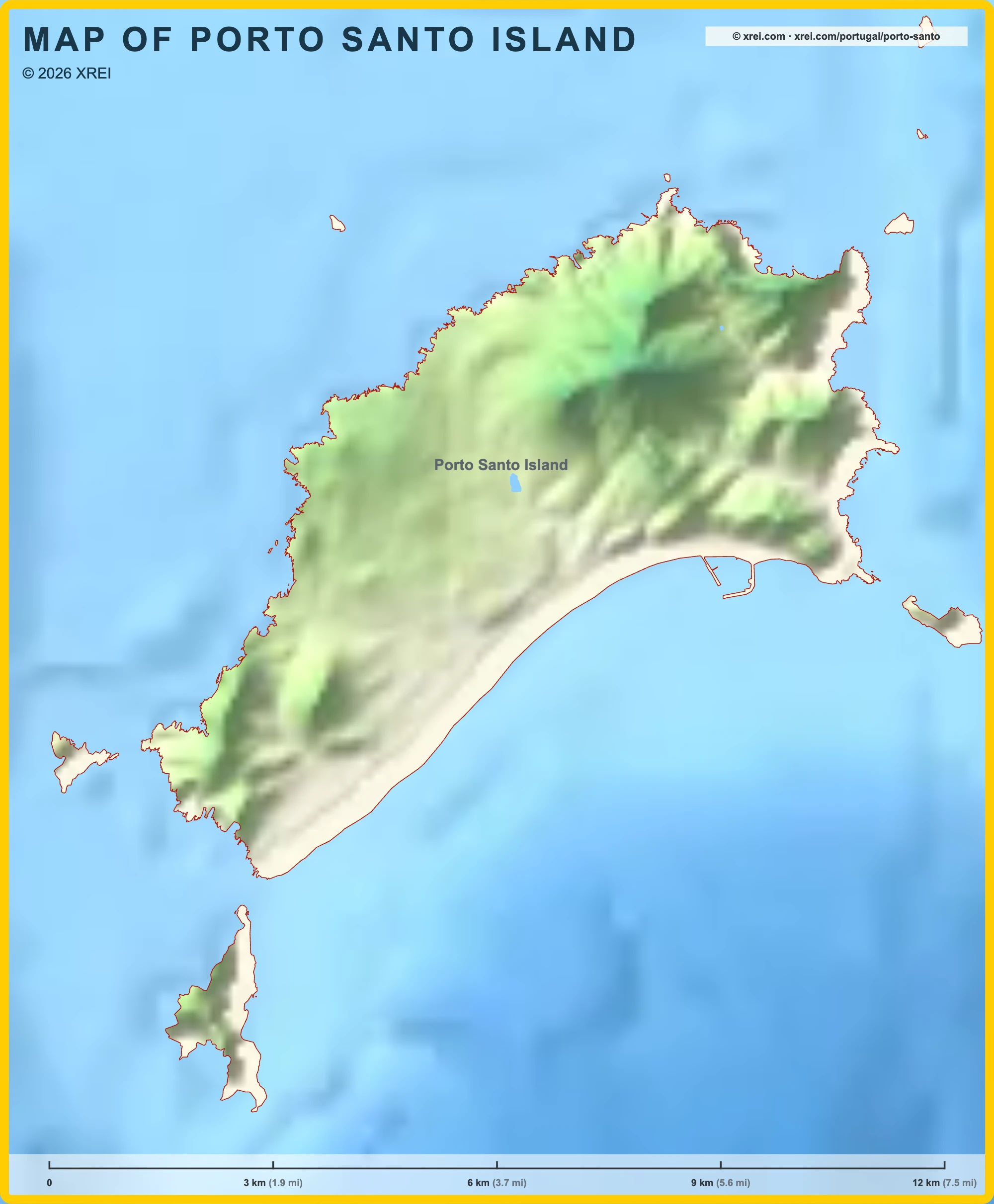
Porto Santo Island
Municipalities of Porto Santo Island map
Porto Santo Island is an Island, a Municipality and a Parish of Madeira in Portugal in the continent of Europe.
03 km (1.9 mi)6 km (3.7 mi)9 km (5.6 mi)12 km (7.5 mi)
Sea depth
0 m (0 ft), 150 m (492 ft), 600 m (1970 ft), 1800 m (5910 ft), 3200 m (10500 ft), deeper than 5200 m (17060 ft)Informação geográfica cedida pela Direção-Geral do Território (CAOP, CC BY 4.0) · © OpenStreetMap contributors (ODbL) · GEBCO 2026 Grid · Heights: NASADEM, NASA
Basic Information
Porto Santo Island population (data from last censos): Island has 5 149 Inhabitants
Municipality has 5 149 Inhabitants
Parish has 5 149 Inhabitants
Porto Santo Island area: Island has 43 km² / 16 sq mi
Municipality has 43 km² / 16 sq mi
Parish has 43 km² / 16 sq mi
Geography
Latitude: 33.066° N
Longitude: 16.336° W
Where is Porto Santo Island located in Portugal?
Municipalities of Porto Santo Island
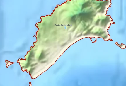
Porto Santo IslandYou’re reading this article
- Municipality population5 149 inhabitants
- Municipality area43 km²
16 sq mi - Municipality perimeter107.0 km
66.5 mi - Max altitude517 m
1 696 ft - Min altitude0 m
0 ft
Parishes of Porto Santo Island
Porto Santo IslandYou’re reading this article
- Parish population5 149 inhabitants
- Parish area43 km²
16 sq mi
Islands of the region
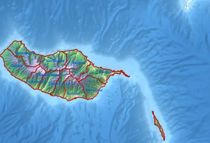
Madeira
- District population245 595 inhabitants
- District area758 km²
293 sq mi - Municipalities10 municipalities
Porto Santo IslandYou’re reading this article
- District population5 149 inhabitants
- District area43 km²
16 sq mi - Municipalities1 municipalities
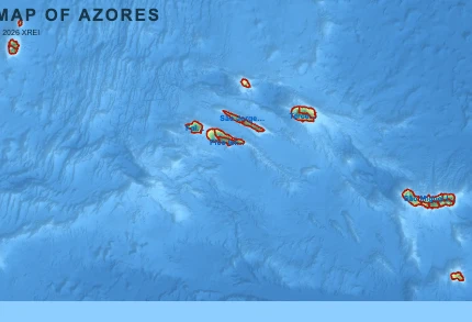
Autonomous regions of Portugal
Porto Santo Island for buyers and investors
Browse homes for sale and new developments in this area and nearby. Our team can guide you from search to purchase. Contact us.