
Moura Morta
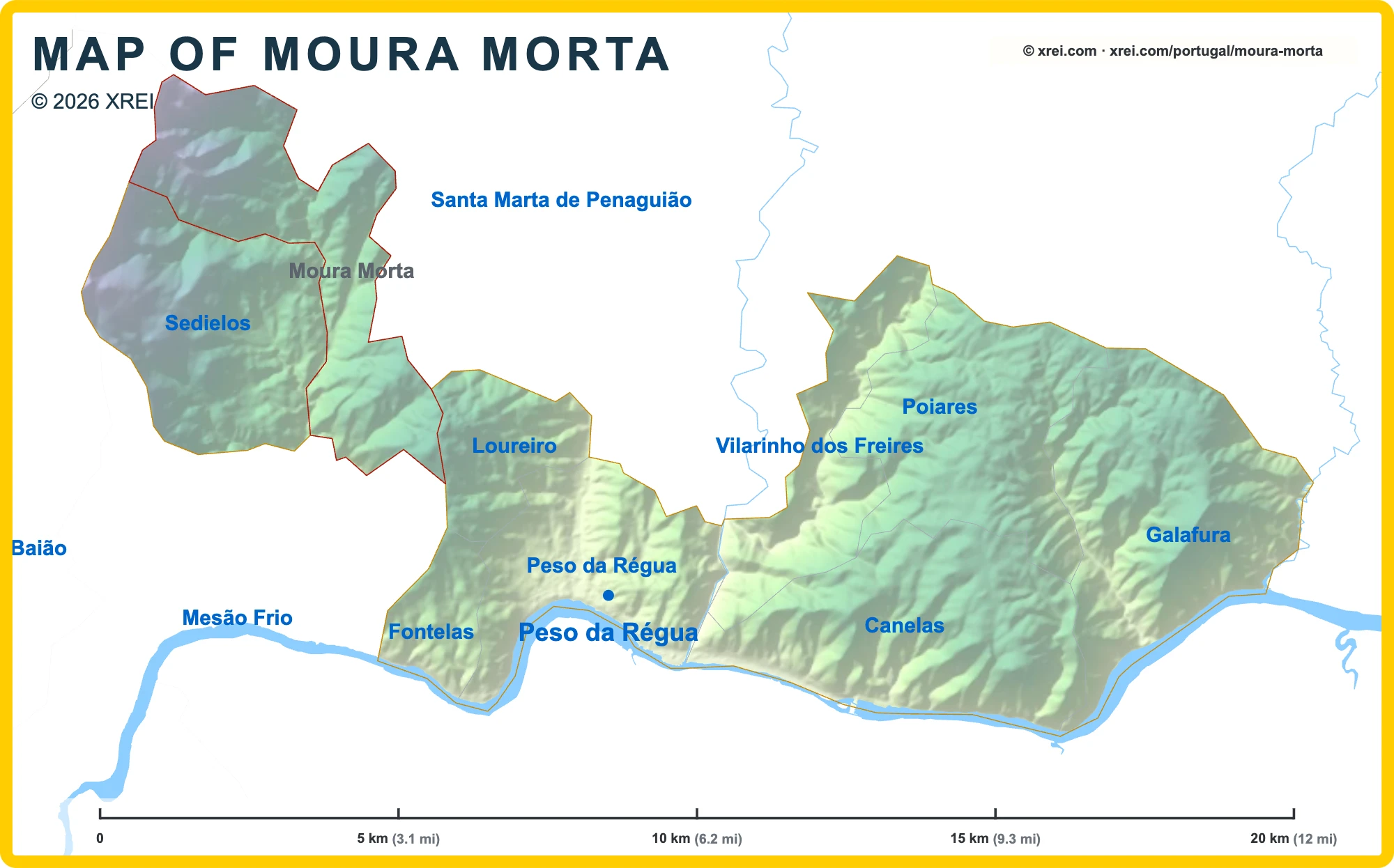
Parishes of Peso da Régua map
Moura Morta is a Parish of Peso da Régua in Portugal in the continent of Europe.
05 km (3.1 mi)10 km (6.2 mi)15 km (9.3 mi)20 km (12 mi)
Height
39 m (128 ft), 80 m (262 ft), 200 m (656 ft), 400 m (1310 ft), 650 m (2130 ft), 950 m (3120 ft), 1300 m (4270 ft), Max altitude 1387 m (4550 ft)Height from west to east in Peso da Régua
Height from south to north in Peso da Régua
1Rio Douro45 to 82 m2Rio Corgo46 to 67 m3Albufeira da Régua75 m
Informação geográfica cedida pela Direção-Geral do Território (CAOP, CC BY 4.0) · © OpenStreetMap contributors (ODbL) · GEBCO 2026 Grid · Heights: NASADEM, NASA
Basic Information
Moura Morta population (data from last censos): Parish has 750 Inhabitants
Moura Morta area: Parish has 13 km² / 5 sq mi
Moura Morta Living & Visiting Map
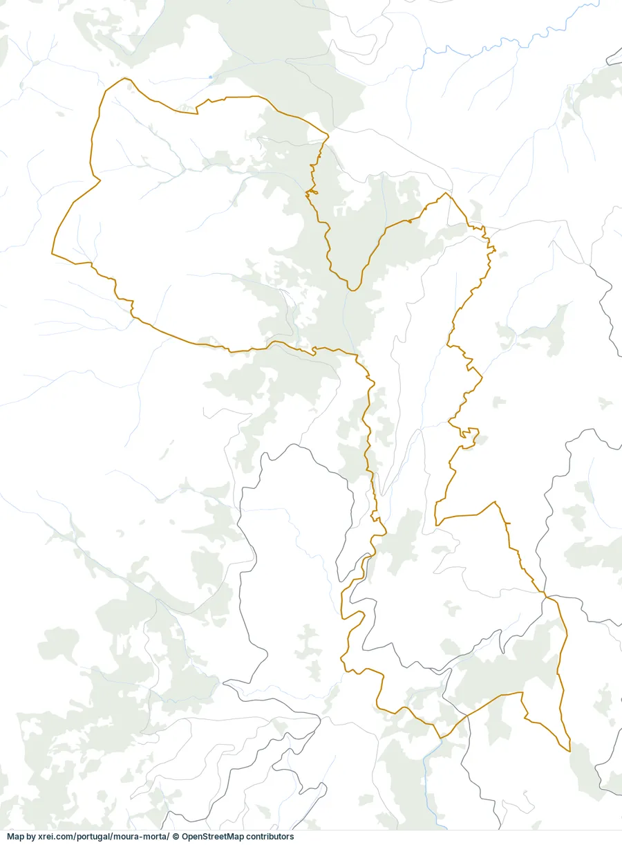
12345Capela de São PedroPonte CavalarCapela da RessurreiçãoCastro of CidadelheCapela de São CaetanoPorto Airport (Francisco Sá Carneiro Airport) (OPO) 70 kmVila Real Aerodrome (VRL) 12 kmAlto Douro Wine Region 25 kmVila Real 12 kmLamego & Santuário dos Remédios 13 kmRio CabrilRio Seromenha▲ Alto Douro Wine RegionAlvão Natural Park 13 kmFoz Tua Dam 35 km
Places
- 1Capela de São Pedro place of worship
- 2Ponte Cavalar bridge
- 3Capela da Ressurreição chapel
- 4Castro of Cidadelhe fortification
- 5Capela de São Caetano place of worship
- Igreja Paroquial de Fontes church
- Igreja de Santa Maria de Oliveira, matriz de Oliveira church
Water
- ≈Rio Cabril River
- ≈Rio Seromenha River
Landmarks
- ▲Alto Douro Wine Region protected area
- Alvão Natural Park protected area, 13 km N
- Foz Tua Dam dam, 35 km E
Airports
- ✈Porto Airport (Francisco Sá Carneiro Airport) (OPO) 70 km W
- ✈Vila Real Aerodrome (VRL) 12 km NE
Next places
- Alto Douro Wine Region 25 km E
- Vila Real 12 km NE
- Lamego & Santuário dos Remédios 13 km S
Map by xrei.com © OpenStreetMap contributors
Where is Moura Morta located in Portugal?
Parishes of Peso da Régua
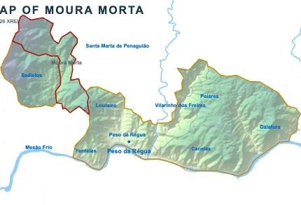
Moura MortaYou’re reading this article
- Parish population750 inhabitants
- Parish area13 km²
5 sq mi




Moura Morta for buyers and investors
Browse homes for sale and new developments in this area and nearby. Our team can guide you from search to purchase. Contact us.