Manteigas (Santa Maria) Street Map
Useful places
- 1Capela do Calvário chapel
- 2Igreja Paroquial de Santa Maria de Manteigas church
- 3Igreja Paroquial de São Pedro de Manteigas church
- 4Igreja Paroquial de Sameiro church
Landmarks
- ▲Serra da Estrela protected area
- Torre Mountain, 13 km SW
Map by xrei.com © OpenStreetMap contributors
Parishes of Manteigas map
Manteigas (Santa Maria) is a Parish of Manteigas in Portugal in the continent of Europe.
04 km (2.5 mi)8 km (5 mi)12 km (7.5 mi)16 km (9.9 mi)
Height
5126509501 3001 6001 7501 991 m
1 6802 1303 1204 2705 2505 7406 530 ft
512 m (1680 ft), 650 m (2130 ft), 950 m (3120 ft), 1300 m (4270 ft), 1600 m (5250 ft), 1750 m (5740 ft), Max altitude 1991 m (6530 ft)Height from west to east in Manteigas
Height from south to north in Manteigas
1Rio Zêzere515 to 1 827 m2Rio Mondego918 to 1 174 m
Informação geográfica cedida pela Direção-Geral do Território (CAOP, CC BY 4.0) · © OpenStreetMap contributors (ODbL) · GEBCO 2026 Grid · Heights: NASADEM, NASA
Basic Information
Manteigas (Santa Maria) population (data from last censos): Parish has 1 253 Inhabitants
Manteigas (Santa Maria) area: Parish has 22 km² / 9 sq mi
Where is Manteigas (Santa Maria) located in Portugal?
Parishes of Manteigas
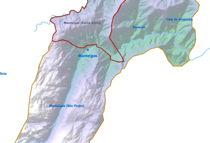
Manteigas (Santa Maria)You’re reading this article
- Parish population1 253 inhabitants
- Parish area22 km²
9 sq mi

- Parish population1 174 inhabitants
- Parish area61 km²
24 sq mi
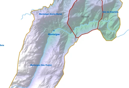
- Parish population274 inhabitants
- Parish area22 km²
9 sq mi
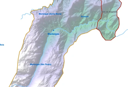
- Parish population208 inhabitants
- Parish area17 km²
6 sq mi