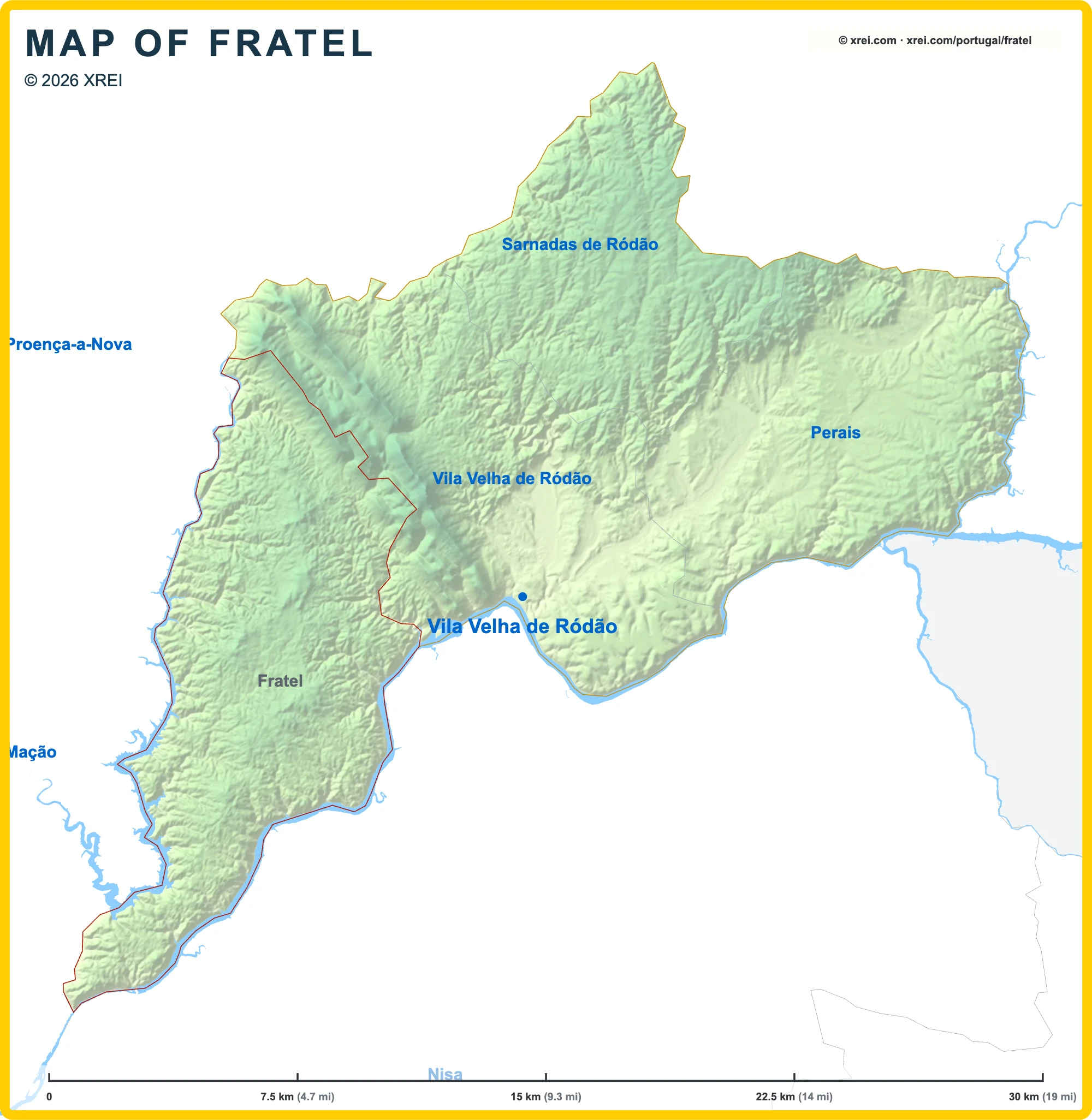
Useful places
- 1Igreja Paroquial de Fratel church
- 2Capela de Santo Amaro chapel
- 3Chafariz e Lavadouro no Fratel fountain
Landmarks
- Serra de São Mamede protected area, 3 km E
Map by xrei.com © OpenStreetMap contributors
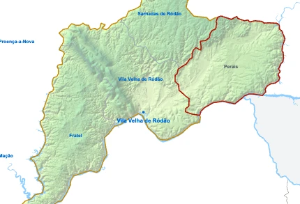
Parishes of Vila Velha de Ródão map
Fratel is a Parish of Vila Velha de Ródão in Portugal in the continent of Europe.
07.5 km (4.7 mi)15 km (9.3 mi)22.5 km (14 mi)30 km (19 mi)
Height
4180200400551 m
1352626561 3101 810 ft
41 m (135 ft), 80 m (262 ft), 200 m (656 ft), 400 m (1310 ft), Max altitude 551 m (1810 ft)Height from west to east in Vila Velha de Ródão
Height from south to north in Vila Velha de Ródão
1Rio Tejo47 to 116 m2Albufeira de Fratel74 m3Albufeira de Pracana110 m
Informação geográfica cedida pela Direção-Geral do Território (CAOP, CC BY 4.0) · © OpenStreetMap contributors (ODbL) · GEBCO 2026 Grid · Heights: NASADEM, NASA
Basic Information
Fratel population (data from last censos): Parish has 500 Inhabitants
Fratel area: Parish has 98 km² / 38 sq mi
Where is Fratel located in Portugal?
Parishes of Vila Velha de Ródão
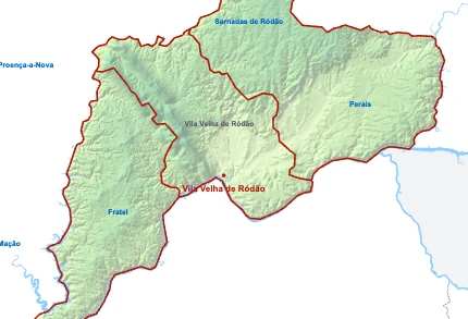
- Parish population1 755 inhabitants
- Parish area90 km²
35 sq mi
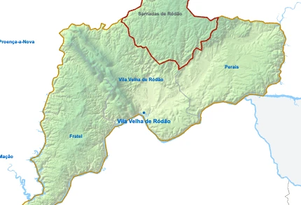
- Parish population592 inhabitants
- Parish area60 km²
23 sq mi
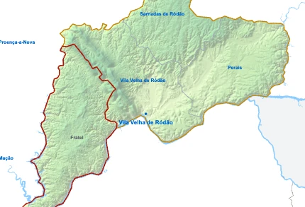
FratelYou’re reading this article
- Parish population500 inhabitants
- Parish area98 km²
38 sq mi
- Parish population438 inhabitants
- Parish area82 km²
32 sq mi