
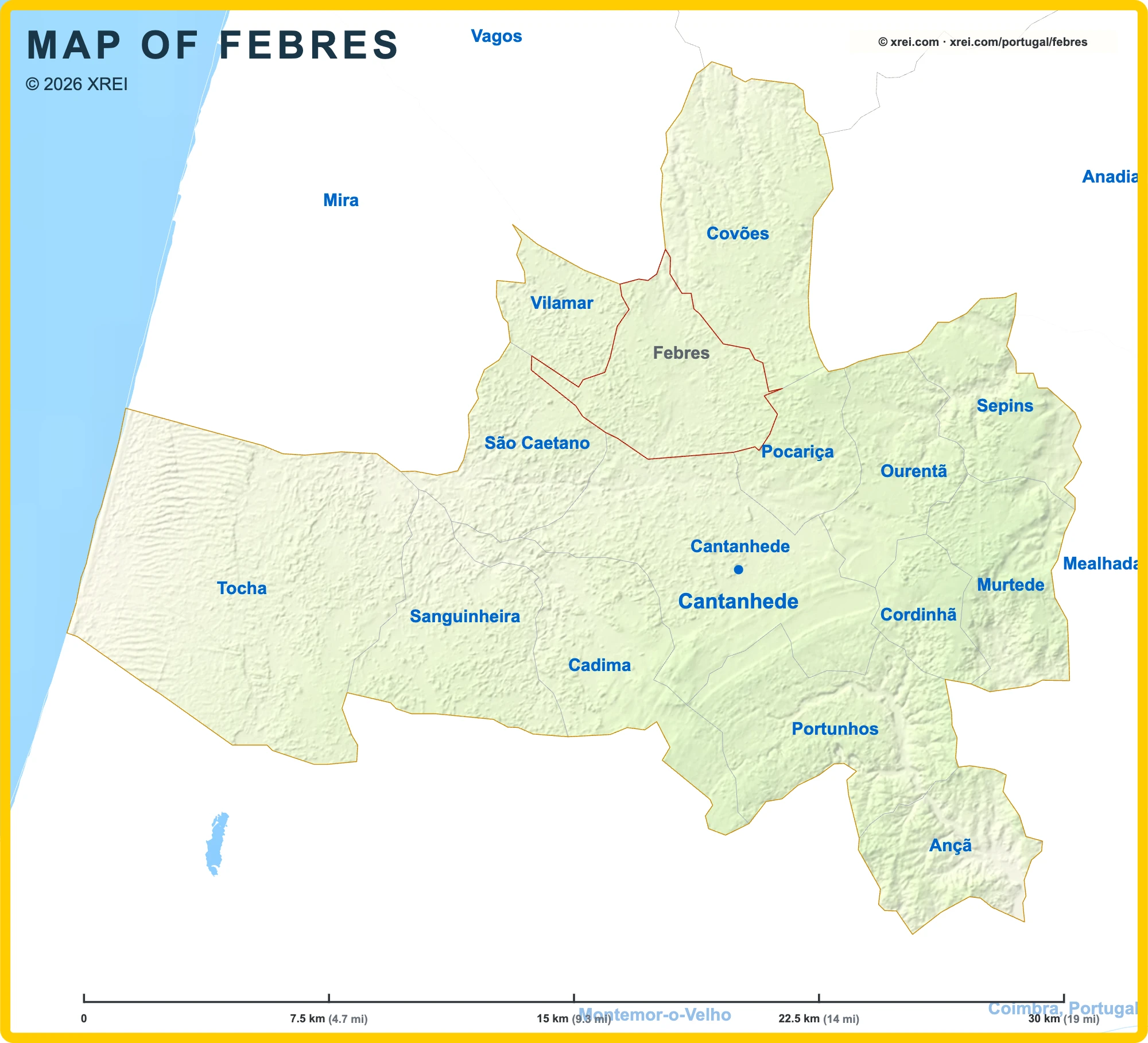
Febres
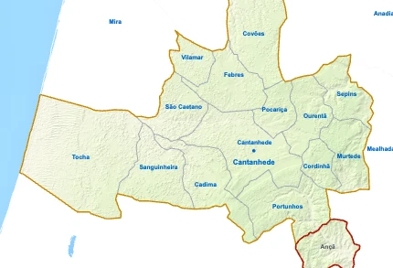
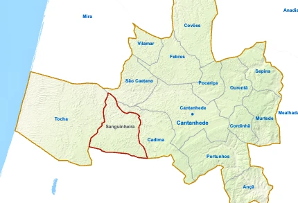
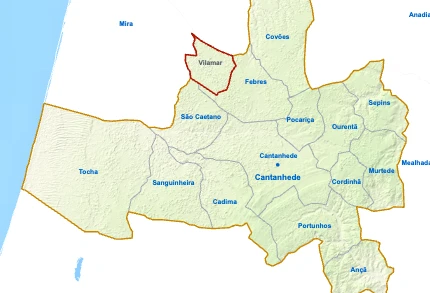
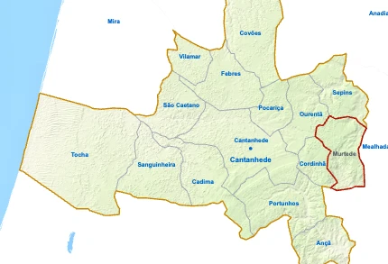
Parishes of Cantanhede map
Febres is a Parish of Cantanhede in Portugal in the continent of Europe.
07.5 km (4.7 mi)15 km (9.3 mi)22.5 km (14 mi)30 km (19 mi)
Height
0 m (0 ft), 80 m (262 ft), Max altitude 144 m (472 ft)Sea depth
0 m (0 ft), 150 m (492 ft), 600 m (1970 ft), 1800 m (5910 ft), 3200 m (10500 ft), deeper than 5200 m (17060 ft)Height from west to east in Cantanhede
Height from south to north in Cantanhede
1Sea0 m
Informação geográfica cedida pela Direção-Geral do Território (CAOP, CC BY 4.0) · © OpenStreetMap contributors (ODbL) · GEBCO 2026 Grid · Heights: NASADEM, NASA
Basic Information
Febres population (data from last censos): Parish has 3 036 Inhabitants
Febres area: Parish has 23 km² / 9 sq mi
Febres Living & Visiting Map

1Igreja dos CovõesPorto Airport (Francisco Sá Carneiro Airport) (OPO) 93 kmViseu Airport (VSE) 72 kmIgreja da Graça 27 kmOlhos da Fervença beach 9 kmCuria Golf Course 14 kmRegueira das VárzeasAveiro Lagoon 8 kmVouga River 25 km
Places
- 1Igreja dos Covões church
Water
- ≈Regueira das Várzeas stream
Landmarks
- Aveiro Lagoon protected area, 8 km NE
- Vouga River protected area, 25 km NE
Airports
- ✈Porto Airport (Francisco Sá Carneiro Airport) (OPO) 93 km N
- ✈Viseu Airport (VSE) 72 km NE
Next places
- Igreja da Graça 27 km SE
- Olhos da Fervença beach 9 km SW
- Curia Golf Course 14 km E
Map by xrei.com © OpenStreetMap contributors
Where is Febres located in Portugal?
Parishes of Cantanhede

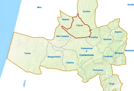
FebresYou’re reading this article
- Parish population3 036 inhabitants
- Parish area23 km²
9 sq mi





Febres for buyers and investors
Browse homes for sale and new developments in this area and nearby. Our team can guide you from search to purchase. Contact us.