Useful places
- 1Igreja Paroquial de Candedo church
- Castro de Palheiros fortification
Landmarks
- ▲Alto Douro Wine Region protected area
- Foz Tua Dam dam, 16 km S
- Prehistoric Rock Art Sites in the Côa Valley protected area, 33 km SE
Map by xrei.com © OpenStreetMap contributors
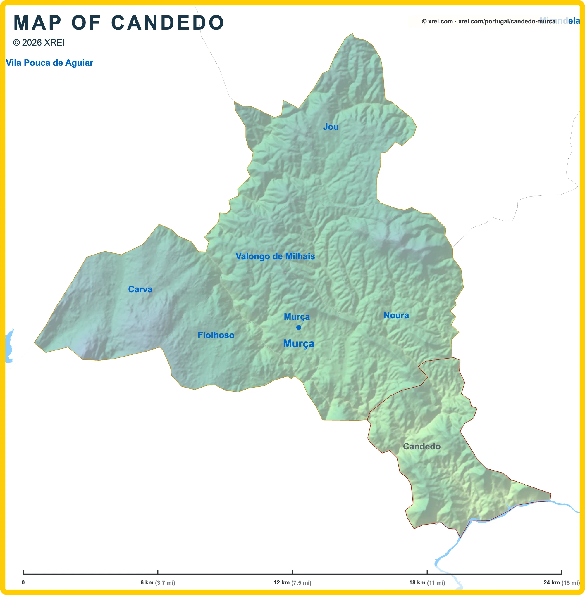
Parishes of Murça map
Candedo is a Parish of Murça in Portugal in the continent of Europe.
06 km (3.7 mi)12 km (7.5 mi)18 km (11 mi)24 km (15 mi)
Height
1552004006509501 019 m
5096561 3102 1303 1203 340 ft
155 m (509 ft), 200 m (656 ft), 400 m (1310 ft), 650 m (2130 ft), 950 m (3120 ft), Max altitude 1019 m (3340 ft)Height from west to east in Murça
Height from south to north in Murça
1Rio Tua159 to 168 m
Informação geográfica cedida pela Direção-Geral do Território (CAOP, CC BY 4.0) · © OpenStreetMap contributors (ODbL) · GEBCO 2026 Grid · Heights: NASADEM, NASA
Basic Information
Candedo population (data from last censos): Parish has 821 Inhabitants
Candedo area: Parish has 29 km² / 11 sq mi
Where is Candedo located in Portugal?
Parishes of Murça
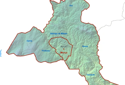
- Parish population1 964 inhabitants
- Parish area14 km²
5 sq mi
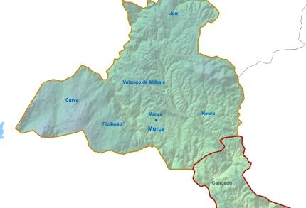
CandedoYou’re reading this article
- Parish population821 inhabitants
- Parish area29 km²
11 sq mi
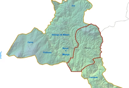
- Parish population812 inhabitants
- Parish area42 km²
16 sq mi
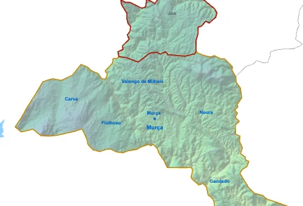
- Parish population535 inhabitants
- Parish area37 km²
14 sq mi

- Parish population432 inhabitants
- Parish area29 km²
11 sq mi
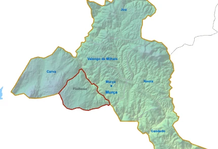
- Parish population416 inhabitants
- Parish area16 km²
6 sq mi
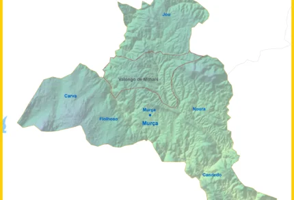
- Parish population265 inhabitants
- Parish area22 km²
9 sq mi