Getting there
- TCanas - Felgueira Train station
Landmarks
- Serra da Estrela protected area, 16 km SE
- Aguieira Dam dam, 28 km SW
Map by xrei.com © OpenStreetMap contributors
Parishes of Nelas map
Lapa do Lobo is a Parish of Nelas in Portugal in the continent of Europe.
04 km (2.5 mi)8 km (5 mi)12 km (7.5 mi)16 km (9.9 mi)
Height
141200400484 m
4636561 3101 590 ft
141 m (463 ft), 200 m (656 ft), 400 m (1310 ft), Max altitude 484 m (1590 ft)Height from west to east in Nelas
Height from south to north in Nelas
1Rio Mondego146 to 203 m
Informação geográfica cedida pela Direção-Geral do Território (CAOP, CC BY 4.0) · © OpenStreetMap contributors (ODbL) · GEBCO 2026 Grid · Heights: NASADEM, NASA
Basic Information
Lapa do Lobo population (data from last censos): Parish has 682 Inhabitants
Lapa do Lobo area: Parish has 7 km² / 3 sq mi
Where is Lapa do Lobo located in Portugal?
Parishes of Nelas

- Parish population4 634 inhabitants
- Parish area22 km²
8 sq mi
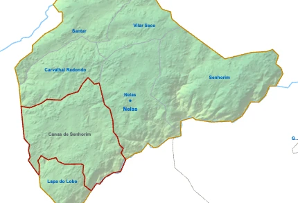
- Parish population3 334 inhabitants
- Parish area25 km²
10 sq mi
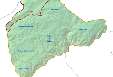
- Parish population1 411 inhabitants
- Parish area16 km²
6 sq mi

- Parish population1 371 inhabitants
- Parish area14 km²
5 sq mi

- Parish population1 019 inhabitants
- Parish area31 km²
12 sq mi
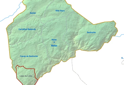
Lapa do LoboYou’re reading this article
- Parish population682 inhabitants
- Parish area7 km²
3 sq mi
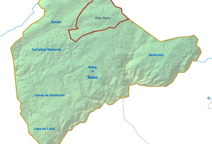
- Parish population668 inhabitants
- Parish area10 km²
4 sq mi