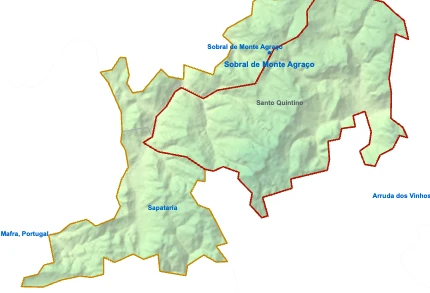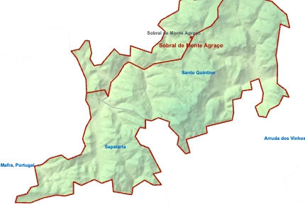

Bykort over Santo Quintino

1234567891011121314TTBIgreja de São QuintinoForte da RetaguardaCapela românico-gótica de Sobral de Monte AgraçoSobral de Monte Agraço bullringFort of AlqueidãoForte da DireitaForte da EsquerdaForte da FrenteForte do PassoForte do Moinho do CéuQuinta do Cerrado da PortaQuinta da FolgorosaIgreja de São Pedro de Dois PortosFort of CarvalhaLisbon Airport (Humberto Delgado Airport) (LIS) 25 kmRibafria 7 kmCarnota 8 kmArruda dos Vinhos 7 kmTorres Vedras 14 kmCarvoeira 7 kmRibeira do EspanholSobral de Monte AgraçoArranhóS. Tiago dos VelhosSapatariaSintra-Cascais Natural Park 24 kmTagus Estuary Natural Reserve 15 kmDois PortosPero NegroEstação de Sobral de Monte AgraçoContinente Bom DiaIntermarché ContactMercado Municipal
Sådan kommer du dertil
- TDois Portos Togstation
- TPero Negro Togstation
- BEstação de Sobral de Monte Agraço Busstation
Nyttige steder
- 1Igreja de São Quintino church
- 2Forte da Retaguarda fortification
- 3Capela românico-gótica de Sobral de Monte Agraço chapel
- 4Sobral de Monte Agraço bullring square
- 5Fort of Alqueidão fortification
- 6Forte da Direita fortification
- 7Forte da Esquerda fortification
- 8Forte da Frente fortification
- 9Forte do Passo fortification
- 10Forte do Moinho do Céu fortification
- 11Quinta do Cerrado da Porta Vingård
- 12Quinta da Folgorosa Vingård
- 13Igreja de São Pedro de Dois Portos church
- 14Fort of Carvalha fortification
- Ermida de Nossa Senhora da Purificação chapel
Vand
- ≈Ribeira do Espanhol stream
Seværdigheder
- Sintra-Cascais Natural Park protected area, 24 km SV
- Tagus Estuary Natural Reserve protected area, 15 km SØ
Supermarkeder
- Continente Bom Dia Avenida Marquês de Pombal
- Intermarché Contact
Lokalt liv
- Mercado Municipal Marked
Lufthavne
Næste steder
- Ribafria 7 km NØ
- Carnota 8 km NØ
- Arruda dos Vinhos 7 km Ø
- Torres Vedras 14 km NV
- Carvoeira 7 km N
Map by xrei.com © OpenStreetMap contributors