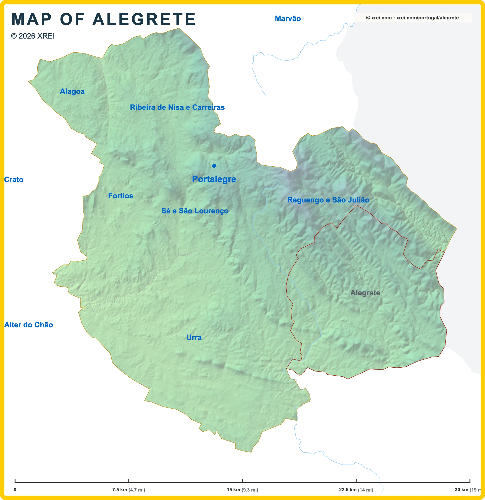
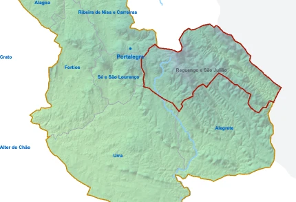
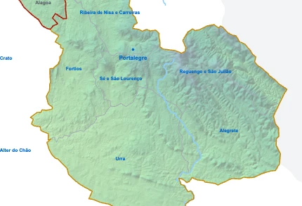
أبرشيات Portalegre خريطة
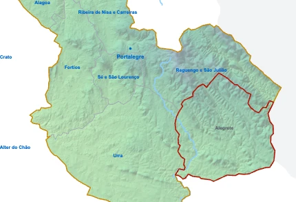
Alegrete هي أبرشية في بورتاليغري في البرتغال في قارة أوروبا.
07.5 km (4.7 mi)15 km (9.3 mi)22.5 km (14 mi)30 km (19 mi)
الارتفاع
2324006509501 022 m
7611 3102 1303 1203 350 ft
232 m (761 ft), 400 m (1310 ft), 650 m (2130 ft), 950 m (3120 ft), أقصى ارتفاع 1022 m (3350 ft)الارتفاع من الجنوب إلى الشمال في بورتاليغري
1Rio Caia301–745 m
Informação geográfica cedida pela Direção-Geral do Território (CAOP, CC BY 4.0) · © OpenStreetMap contributors (ODbL) · GEBCO 2026 Grid · produced using Copernicus WorldDEM-30 © DLR e.V. 2010-2014 and © Airbus Defence and Space GmbH 2014-2018 provided under COPERNICUS by the European Union and ESA; all rights reserved. The organisations in charge of the Copernicus programme by law or by delegation do not incur any liability for any use of the Copernicus WorldDEM-30.
معلومات أساسية
سكان Alegrete (بيانات آخر تعداد): أبرشية بها 1 414 نسمة
مساحة Alegrete: أبرشية مساحتها 87 كم² / 34 ميل²
أين يقع Alegrete في Portugal؟